Where is Rosemead, CA?
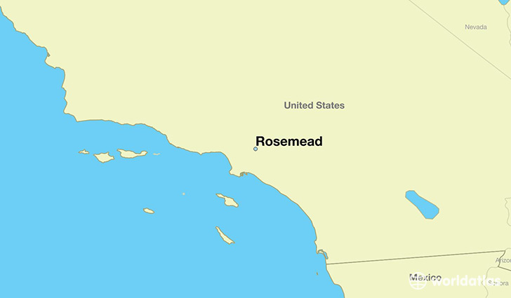
Rosemead is a city found in California, The United States Of America. It is located 34.08 latitude and -118.07 longitude and it is situated at elevation 96 meters above sea level.
Rosemead has a population of 53,764 making it the 174th biggest city in California. It operates on the PDT time zone, which means that it follows the same time zone as Los Angeles.
Quick facts
| Country | The United States Of America |
| State | California |
| Population | 53,764 |
| Elevation | 96 m over sea level |
| Time Zone | PDT |
| Longitude | -118.072850 |
| Latitude | 34.080570 |
Rosemead has a population of around 54615, of which 27016 (49%) are male and 27599 (50%) are female. The average age of the inhabitants of Rosemead is 39.58, meaning that the average person is above the national median age of 37. For every male, there are approximately 1.02 females, meaning that the population is relatively evenly distributed between males and female(s).
Of Rosemead's 54615 residents, around 53723 (98.40%) identify as having a single race. The majority of the population is asian, which consists of 61.00% of the population. Of the remaining population, 11363 are white (20.80%), 85 are black/African Americans (0.20%), 272 are native Americans (0.50%), 127 are pacific islanders (0.20%), 8478 are other (15.00%).
The median income of households in Rosemead is $44906.00, meaning that most of the households are above the poverty threshold for families of three. Of the total population, 5.20% of households reported an annual income of less than $10,000.
Rosemead, CA Zipcodes
The city of Rosemead has 4 zipcodes recognized by the United States Census Bureau: 90640, 91733, 91770, 91776.