Where is Oakland, CA?
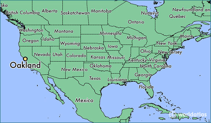
Oakland is a city found in California, The United States Of America. It is located 37.80 latitude and -122.27 longitude and it is situated at elevation 24 meters above sea level.
Oakland has a population of 390,724 making it the 8th biggest city in California. It operates on the PDT time zone, which means that it follows the same time zone as Los Angeles.
Quick facts
| Country | The United States Of America |
| State | California |
| Population | 390,724 |
| Elevation | 24 m over sea level |
| Time Zone | PDT |
| Longitude | -122.270800 |
| Latitude | 37.804370 |
Oakland has a population of around 408073, of which 197843 (48%) are male and 210230 (51%) are female. The average age of the inhabitants of Oakland is 37.46, meaning that the average person is above the national median age of 37. For every male, there are approximately 1.06 females, meaning that the population is relatively evenly distributed between males and female(s).
Of Oakland's 408073 residents, around 382510 (93.70%) identify as having a single race. Of the population, 159650 are white (39.10%), 106302 are black/African Americans (26.00%), 3150 are native Americans (0.80%), 65696 are asians (16.00%), 2401 are pacific islanders (0.60%), 45311 are other (11.00%).
The median income of households in Oakland is $54618.00, meaning that most of the households are above the poverty threshold for families of three. Of the total population, 7.20% of households reported an annual income of less than $10,000.
Oakland, CA Zipcodes
The city of Oakland has 18 zipcodes recognized by the United States Census Bureau: 94577, 94601, 94602, 94603, 94605, 94606, 94607, 94608, 94609, 94610, 94611, 94612, 94613, 94618, 94619, 94621, 94704, 94705.