Where is Alhambra, CA?
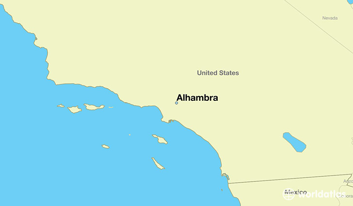
Alhambra is a city found in California, The United States Of America. It is located 34.10 latitude and -118.13 longitude and it is situated at elevation 153 meters above sea level.
Alhambra has a population of 83,089 making it the 98th biggest city in California. It operates on the PDT time zone, which means that it follows the same time zone as Los Angeles.
Quick facts
| Country | The United States Of America |
| State | California |
| Population | 83,089 |
| Elevation | 153 m over sea level |
| Time Zone | PDT |
| Longitude | -118.127010 |
| Latitude | 34.095290 |
Alhambra has a population of around 84782, of which 41440 (48%) are male and 43342 (51%) are female. The average age of the inhabitants of Alhambra is 40.07, meaning that the average person is above the national median age of 37. For every male, there are approximately 1.05 females, meaning that the population is relatively evenly distributed between males and female(s).
Of Alhambra's 84782 residents, around 82175 (96.90%) identify as having a single race. The majority of the population is asian, which consists of 50.00% of the population. Of the remaining population, 20587 are white (24.30%), 1351 are black/African Americans (1.60%), 228 are native Americans (0.30%), 177 are pacific islanders (0.20%), 16739 are other (19.00%).
The median income of households in Alhambra is $53582.00, meaning that most of the households are above the poverty threshold for families of three. Of the total population, 6.70% of households reported an annual income of less than $10,000.
Alhambra, CA Zipcodes
The city of Alhambra has 4 zipcodes recognized by the United States Census Bureau: 91030, 91776, 91801, 91803.