Where is Apache County, Arizona?
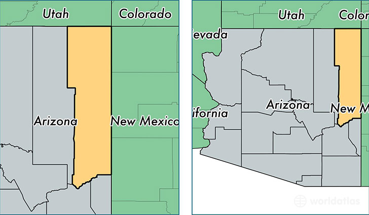
Apache County is a county equivalent area found in Arizona, USA. The county government of Apache is found in the county seat of Saint Johns.
With a total 29,055.62 sq. km of land and water area, Apache County, Arizona is the 22nd largest county equivalent area in the United States. Home to 71,828 people, Apache County has a total 32609 households earning 31476 on average per year.
Apache County, Arizona offers the following attractions to visitors: Canyon de Chelly NM Chinle, Hubbell Trading Post NHS, Petrified Forest NP
Apache County, Arizona - Quick Facts
| FIPS Code | 4001 |
| Area Codes | 928 |
| Time Zone | MST |
| Major Cities | Chinle (population: 10,965), Ganado (population: 7,829), Fort Defiance (population: 6,741), Eagar (population: 5,007), Window Rock (population: 4,580), Saint Johns (population: 4,393), Saint Michaels (population: 3,780), Teec Nos Pos (population: 3,392), Concho (population: 2,745), Sanders (population: 2,496) |
| Land Area | 27,733 sq miles |
| Water Area | 11,197 sq miles |
| Household Income | $31,476 |
| Housing Units | 32,609 |
| Median Home Value | $83,100 |
| High School Grads | 75% of population |
| Holders of Bachelors Degrees | 10% of population |
| Retail Spending | $3,997 per capita |
| Food & Accomodation Sales | $47,781 per capita |
| Universities and Colleges | Dine College |
This page was last updated on June 30, 2016.