Where is Phillips County, Arkansas?
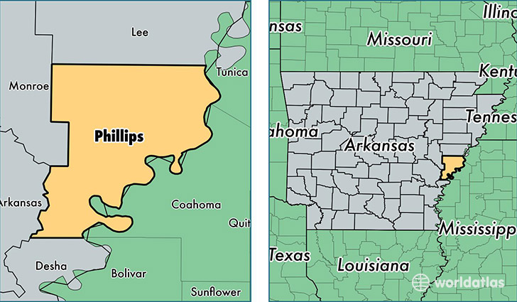
Phillips County is a county equivalent area found in Arkansas, USA. The county government of Phillips is found in the county seat of Helena.
With a total 1,883.81 sq. km of land and water area, Phillips County, Arkansas is the 1331st largest county equivalent area in the United States. Home to 19,930 people, Phillips County has a total 10106 households earning 26737 on average per year.
Phillips County, Arkansas - Quick Facts
| FIPS Code | 5107 |
| Area Codes | 870 |
| Time Zone | CST |
| Major Cities | West Helena (population: 8,699), Helena (population: 5,284), Lexa (population: 2,652), Marvell (population: 2,429), Poplar Grove (population: 836), Elaine (population: 637), Wabash (population: 194), Lambrook (population: 108), Mellwood (population: 103), Crumrod (population: 61) |
| Land Area | 7,695 sq miles |
| Water Area | 696 sq miles |
| Household Income | $26,737 |
| Housing Units | 10,106 |
| Median Home Value | $59,500 |
| High School Grads | 73% of population |
| Holders of Bachelors Degrees | 12% of population |
| Retail Spending | $10,468 per capita |
| Food & Accomodation Sales | $13,481 per capita |
| Universities and Colleges | Phillips Community College of the University of Arkansas |
This page was last updated on June 30, 2016.