Where is Hempstead County, Arkansas?
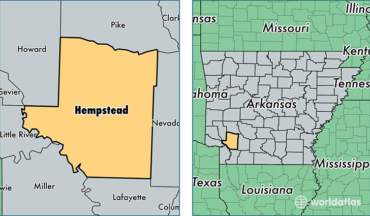
Hempstead County is a county equivalent area found in Arkansas, USA. The county government of Hempstead is found in the county seat of Hope.
With a total 1,919.64 sq. km of land and water area, Hempstead County, Arkansas is the 1299th largest county equivalent area in the United States. Home to 22,327 people, Hempstead County has a total 10382 households earning 32056 on average per year.
Hempstead County, Arkansas offers the following attraction to visitors: William J Clinton Birthplace Home NHS
Hempstead County, Arkansas - Quick Facts
| FIPS Code | 5057 |
| Area Codes | 870 |
| Time Zone | CST |
| Major Cities | Hope (population: 16,570), Fulton (population: 1,136), Washington (population: 762), Ozan (population: 700), McCaskill (population: 665), Blevins (population: 638), Saratoga (population: 473) |
| Land Area | 8,620 sq miles |
| Water Area | 727 sq miles |
| Household Income | $32,056 |
| Housing Units | 10,382 |
| Median Home Value | $73,100 |
| High School Grads | 82% of population |
| Holders of Bachelors Degrees | 14% of population |
| Retail Spending | $8,807 per capita |
| Food & Accomodation Sales | $21,236 per capita |
This page was last updated on June 30, 2016.