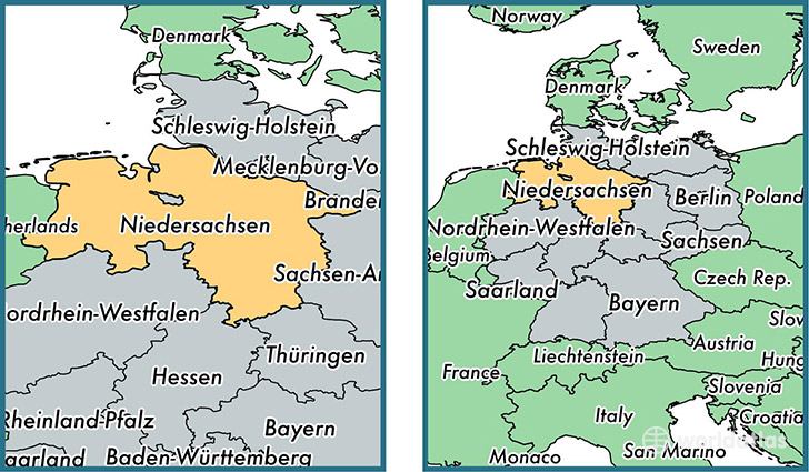
State of Lower Saxony, Germany
Lower Saxony is a state found in the nation of Germany. Home to 7,777,992 people, it is the 4th largest division in Germany in terms of population.
Lower Saxony gained its current status as a state in the year 1949. The government of Lower Saxony is lead by Stephan Weil and is based in the state capital of Hanover (Population: 515,140).
The most populous cities in Lower Saxony are: Hannover (Population: 515,140), Braunschweig (Population: 244,715), Osnabrueck (Population: 166,462), Oldenburg (Population: 159,218), Wolfsburg (Population: 123,064).
Lower Saxony State - Quick Facts
| Country | Germany |
| Region Type | State |
| ISO Code | DE_NI |
| Time Zone | CEST |
| Year of Establishment | 1949 |
| Capital | Hannover (Population: 515,140) |
| Head of Government | Stephan Weil |
| Total Population | 7,777,992 |
| Total Area | 47,618 sq km (18,385 sq miles) |
| Population Density | 163.3 sq km (423.1 sq miles) |
This page was last updated on July 24, 2015.