The Jamuna River
5. Description
The Jamuna River is one of the main rivers of Bangladesh. Its length of around 205 kilometers has its source in the melt-waters from the Chemayung-Dung Glacier, from where It arises in India. It then flows south to join the River Padma near Goalundo Ghat, and meets the Meghna River near Chandpur. After that, it flows into the Bay of Bengal as part of the Meghna River, which is the most important water body of this country. The Jamuna-Meghna River system is a braided stream which is enclosed with many sandbars, and has a network of various interlacing channels. The main and the largest tributary of the Jamuna River before joining the Meghna is the Teesta River, which flows into it as soon as it enters Bangladesh from its source in India.
4. Historical Role
The width of the river stretches, depending upon the area it is seen, from 3 kilometers to 18 kilometers across, and it has four main tributaries which flow down into it from different channels. The river is also known as the downward itinerary of the Brahmaputra River, which was responsible for the devastating flood in the year 1787. This river divides Bangladesh into two divisions, out of which one division was known as Rajshahi Division until the year 1996, but the issue of Bangladeshi division by the river was more or less resolved with the construction of the Jamuna Multi-Purpose Bridge. Another important aspect of this river is its flow, as it is known as the fifth largest river in terms of water flow in the whole world.
3. Modern Significance
The Jamuna is part of one of the largest catchment areas in the world, which it forms as the Jamuna-Brahmaputra River, and this drainage basin encompasses approximately 583,000 square kilometers, which is one of the widest areas drained by any riverine system. One of the multi-purpose projects ever to be constructed on the Jamuna River has been endowed with the name of the Bangabandhu Jamuna Multi-Purpose Bridge. This bridge is 4.8 kilometers long, and serves as a link between the eastern and western parts of the country. The bridge carries a great deal of significance for the people, as they can ferry easily from one part to another within short time, and the bridge has promoted increased inter-regional trade as a result. Another important piece of infrastructure here is the presence of links to the Southern Corridor of the Trans-Asian Railway network, which will serve to provide international road and rail links from South East Asia via Central Asia all the way to northern and western Europe.
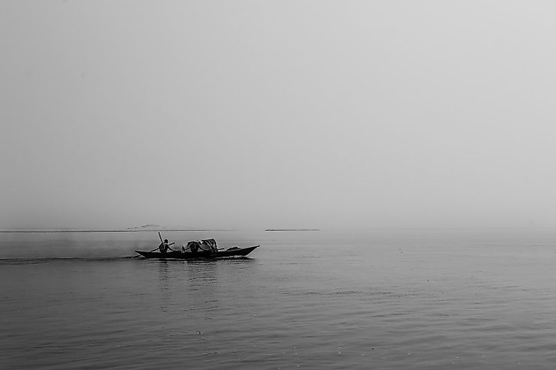
2. Habitat and Biodiversity
This river runs around the main town and cities of the Rajshahi Division of Bangladesh, which is one of the six main political districts of the country. The population around the area is approximately 30 million people in number, and the area around it is spread across 34,513 square kilometers. The wildlife habitat of the area includes fishes in the river, which lead many local people to pursue fishing as their main occupation, and much of the area near the river body is land owned by these communities of Bangladeshi fishermen.
1. Environmental Threats and Territorial Disputes
The river has a braided stream, wherein it has a seemingly endless number of sandbars. These are left with deposits of sediment along much of the Jamuna's course, and the process of deposition, erosion, and re-deposition goes on continuously, especially after the rainy season. The Jamuna has thus eroded thousands of hectares of land, and has left many people homeless and landless many a times. A dispute regarding the Tipaimukh Dam between Bangladesh and India regarding the dam's hydroelectric power generation and distribution remains ongoing as well.


