The Largest Islands of Estonia
Estonia is a Baltic country bordered by the Baltic Sea, the Gulf of Finland, Latvia, and Russia. Sweden and Finland are located across the Baltic Sea. Estonia’s territories include mainland Estonia and a group of 2,222 islands and islets in the Baltic Sea.
The Four Largest Islands of Estonia
Saaremaa
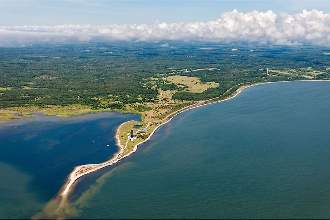
Saaremaa is Estonia’s largest island by size and measures 2,673 square km. The island is located in the Baltic Sea and is part of the country’s Saare County administrative division. Saaremaa is part of the West Estonian Archipelago, and Kuressaare is the capita of the island. The island has a population of around 30,966 people. The island has vast expanses of forested landscape and the Kaali crater is an important geographical feature. The coastal areas of Saaremaa are well-known seal habitats. Estonians constitute the largest percentage of the island’s population, followed by Russians.
Hiiumaa
The second largest Estonian island, Hiiumaa, is located to the north of Saaremaa and is also a part of the West Estonian archipelago. The island is separated from Saaremaa by the Soela Strait, and is separated from mainland Estonia by the Muhu Strait. The island encompasses an area of 989 square km in the Baltic Sea. The island is part of the Estonian administrative division of the Hiiu County, and Kärdla is the island's biggest town. The island has a population of around 8,582 inhabitants.
Muhu
Muhu is the third biggest island of Estonia by size. The Baltic Sea island covers an area of 198 square km and is part of Saare County’s Muhu Parish municipality. The population of the municipality is 1,697, as of April 2010. The Suur Strait and Väike Strait separate Muhu from the mainland Estonia and Saaremaa, respectively. The island is well-known for housing some of the last operational traditional windmills of the country. It also has Estonia's first wine tourism farm.
Vormsi
The island of Vormsi is situated between the island of Hiiumaa and mainland Estonia. It occupies an area of 92 square km and is part of the administrative unit of Vormsi Parish. Several villages are based on this island. The island is the wealthiest region in the country in terms of per capita income, outside of the Tallinn metropolitan area. A large number of summer homes of wealthy Estonians are located on the island. The main source of government income in Vormsi is the annual income tax collected from the island’s residents.
The Largest Islands of Estonia
| Rank | Name | Area (km2) | Location |
|---|---|---|---|
| 1 | Saaremaa | 2,671 | West Estonian archipelago |
| 2 | Hiiumaa | 989 | West Estonian archipelago |
| 3 | Muhu | 198 | West Estonian archipelago |
| 4 | Vormsi | 93 | West Estonian archipelago |
| 5 | Kassari | 19.3 | West Estonian archipelago |
| 6 | Naissaar | 18.6 | Gulf of Finland |
| 7 | Kihnu | 16.4 | Gulf of Riga |
| 8 | Väike-Pakri | 12.9 | Gulf of Finland |
| 9 | Suur-Pakri | 11.6 | Gulf of Finland |
| 10 | Ruhnu | 11.4 | Gulf of Riga |