Holland
The Kingdom of the Netherlands is made up of 12 provinces: Noord Holland, Zuid Holland, Flevoland, Gelderland, North Brabant, Overijssel, Drenthe, Province of Utrecht, Province of Groningen, Friesland, Zeeland and Limburg. Holland is a geographic region that is situated on the western coast of the Kingdom of the Netherlands. Holland is made up of the two provinces of Noord (North) Holland and Zuid (South) Holland. The name Holland is often informally used to refer to the entire country of the Netherlands.

Geography
The maritime region of Holland is located on the North Sea at the mouth of the European rivers of Meuse and Rhine. Holland is bordered by the inland bay Ijsselmeer and four other provinces of the Netherlands in the east. Covering a total area of 7,511 km2, the region of Holland comprises several rivers and lakes. A long line of coastal dunes protects the region from the sea. Located in the Schoorise Dunien is the highest point in Holland, which rises to an elevation of only 55 m. A major portion of the area behind these coastal dunes is composed of polder landscape, low-lying tracts of land situated below sea level. Located in South Holland near the city of Rotterdam is a polder that is positioned about 7 m below sea level, and is considered as the lowest point in Holland. Several windmills are found across the landscape of Holland, which were previously used for continuous drainage and preventing the area from flooding.
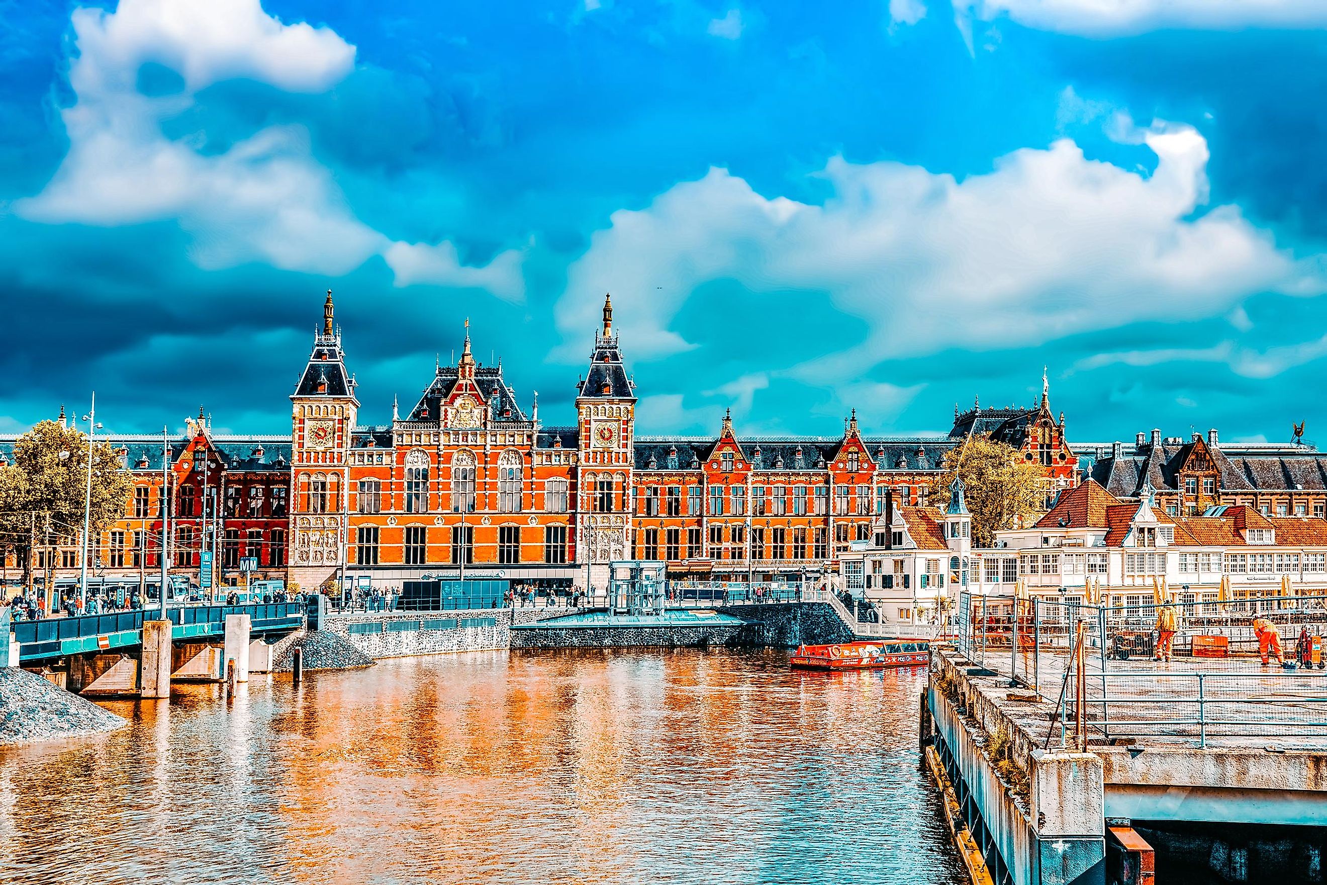
Located in North Holland is Amsterdam, the capital, largest and the most populous city of the Kingdom of Netherlands. The Port of Rotterdam is located in South Holland and is Europe’s largest and the most significant seaport. Also located in South Holland is The Hague, the third-largest city and administrative center of the Netherlands. It also hosts the International Court of Justice. These three major cities together with the city of Utrecht and several other small municipalities together form a large metroplex, the conurbation of Randstad.
Brief History

The name “Holland” was derived from the Old Dutch word Holtlant which means “woodland.” Until the beginning of the 12th century, the area of Holland was initially a part of Frisia and their inhabitants were called Frisians. Holland (a part of West-Frisia) became an independent county in the Holy Roman Empire at the end of the 9th century. Holland eventually became a part of the Burgundian Netherlands in 1432 and of the Habsburg Seventeen Provinces in 1477.
From 1588 to 1795, the area that currently represents the Netherlands was known as the Republic of Seven United Netherlands. The French conquered the area in 1795 and it came to be known as the Batavian Republic. The Republic was ruled by Napoleon Bonaparte’s brother Louis Napoleon and then by his son Napoleon Louis Bonaparte from 1806 to 1810. During this time, Holland became the most significant contributor to the entire area’s wealth and economy. Therefore, from this time onwards, the name Holland began to be used as a synonym for the Netherlands as a whole.
However, from 1810 to 1813, Holland was taken over by the French Empire and then subsequently divided into the French départments of Bouches-de-la-Meuse and Zuyderzée. It was eventually restored as a province of the United Kingdom of the Netherlands in 1815. After the Belgian Revolution, the province of Holland was divided into the two provinces of North Holland and South Holland.