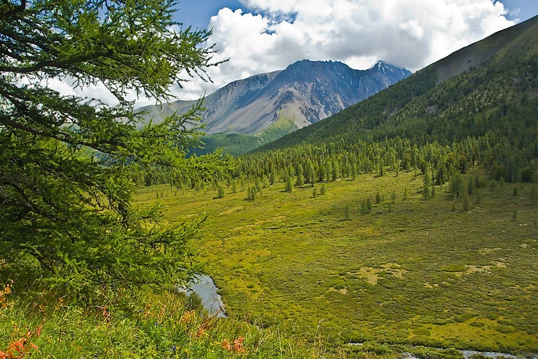
The 10 Longest Rivers In Virginia
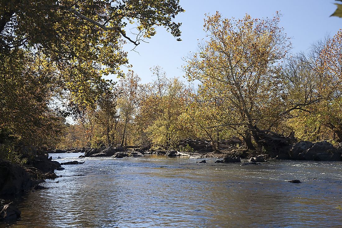
Virginia is situated in the southeastern part of the United States. It extends from the Chesapeake Bay to the Appalachian Mountains with a coastline along the Atlantic Ocean. Here is a brief description (in descending order) of the ten longest rivers in Virginia.
Roanoke River
Roanoke River is a river in the southern region of Virginia and northeastern North Carolina. It flows over a distance of 660km from the eastern part of Appalachian Mountains to Albemarle Sound through Piedmont. Roanoke River rises from the Blue Ridge Mountains and is fed by two main rivers, The North Fork and South Fork ending its path in Batchelor Bay.
James River
James River traverses a distance of 560km. It originates from the Appalachian Mountains and is fed by Jackson and Cowpasture rivers. It flows through the capital of Virginia, at Richmond and ends in the Atlantic Ocean via the Newport News Point.
New River
The New River flows through Virginia and into the North Carolina before entering West Virginia. It is roughly 510 kilometers, originates from North Carolina, and ends into the Ohio River.
Potomac River
Potomac River is another big river in Virginia found at the coast of the mid-Atlantic Ocean. Potomac River rises through Fairfax Stone in West Virginia heading into Point Lookout in Maryland. It is the fastest flowing river in the US. The river starts from two regions; the North Branch and the South Branch and ends in the Chesapeake Bay.
Clinch River
Clinch River, 480 kilometers long, rises from Virginia heading into south western regions in Tazewell and goes through the Great Appalachian Valley before joining Tennessee River, in Kingston. The river is fed by other rivers including Run Creek and Powell River
Dan River
The course of Dan River passes through the states of North Carolina and Virginia, covering a distance of about 344 kilometers. Dan River starts from Patrick County in Virginia and heads into North Carolina passing through Stokes County and back into Virginia ending in Roanoke River via Kerr Reservoir.
Rappahannock River
Rappahannock River is estimated to cover a distance of 314 kilometers and is found towards the eastern part of Virginia. It starts from the Blue Ridge Mountains, descends into Piedmont and Fall Line before draining into the Chesapeake Bay, and forms an estuary past the city of Fredericksburg.
Levisa Fork
Levisa Fork starts from the Appalachian Mountains and flows towards Pike County. It then flows through Pikeville, Prestonsburg before joining Tug Fork in West Virginia. It ends at the Big Sandy River, covering a distance of 264 kilometers.
Tug Fork
Tug Fork also flows into the Big Sandy River and passes through south western parts of West Virginia, Virginia and eastern part of Kentucky covering a distant 256 kilometers. Its source is in the Appalachian Mountains, and it passes through south western West Virginia heading towards northwest states of Kentucky and West Virginia. It terminates in the Big Sandy River at Louisa in Kentucky.
Appomattox River
Appomattox River rises through central and eastern regions of Virginia State and joins James River covering a distance of 253 kilometers. It starts from the Piedmont, Appomattox County before flowing south eastwards through Appomattox-Buckingham State Forest towards Farmville and links up with James River at City Point in Hopewell.
The 10 Longest Rivers In Virginia
| Rank | River | Length of river |
|---|---|---|
| 1 | Roanoke River | 660 km |
| 2 | James River | 560 km |
| 3 | New River | 510 km |
| 4 | Potomac River | 486 km |
| 5 | Clinch River | 480 km |
| 6 | Dan River | 344 km |
| 7 | Rappahannock River | 314 km |
| 8 | Levisa Fork | 264 km |
| 9 | Tug Fork | 256 km |
| 10 | Appomattox River | 253 km |