Is Tahiti A Country?
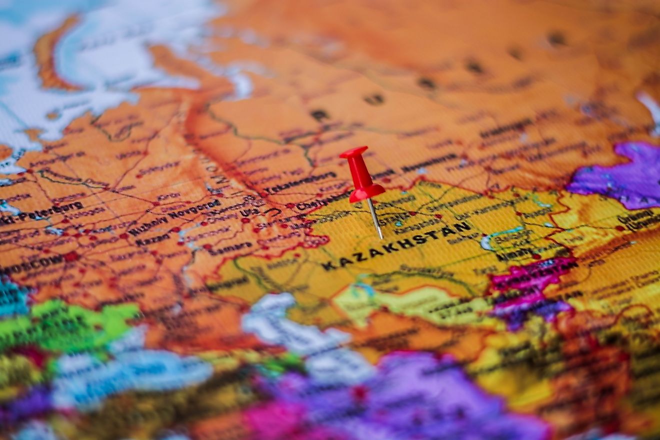
By definition, a country refers to a nation occupying a political territory and has full independence over the governance of the political territory. Tahiti is part of French Polynesia and is not a country.
Tahiti is the biggest island in French Polynesia’s Windward group of islands. Situated in the island group of the Society Islands, which are in the central region of the Southern Pacific Ocean, Tahiti is divided into two parts namely Tahiti Nui (northern part) and Tahiti Iti (southern part). Being part of French Polynesia, the island, which is located in the South Pacific Ocean, is not a country. French Polynesia refers to the French Republic’s overseas country, which is a designation that was granted back in 2003. This group of islands is France’s only overseas collectivity and stretches over a distance of more than 1,200 miles. An overseas country is simply a designation (not a legal status) given to the collectivity of islands even though they still belong to France.
Political
The people of Tahiti are French citizens with full political and civil rights. As it is part of French Polynesia, the President of French Polynesia, who also heads the government, leads Tahiti. The region is almost self-governing with all the three branches of government in place. However, it is all under the authority of the President of France. The influence of the French government is limited to education, security, and subsidies. Administratively, the island of Tahiti comprises of 12 communes, which are part of the administrate subdivision of the Windward Islands. The most populated commune is Fa'a'ā, Pape'ete is the capital, while the biggest commune is Taiarapu-Est.
Economy
One of the most significant industries in Tahiti is tourism. Tourists are drawn to the island for several reasons such as festivals, beautiful sights, and the lovely weather. For example, July has festivals to celebrate the culture of French Polynesia as well as festivals to remember the attack of the Bastille in Paris. Another important sector is agriculture, which produces things like Tahitian or Black pearl, vanilla, flowers, and other things. Most of these products are exported to outside markets such as the US, New Zealand, Australia, and other nations. However, the major trading partner is Metropolitan France, which accounts for a huge percentage of the imports (40%) and a respectable portion of the exports (25%). The currency used is the French Pacific Franc, which is equal to €0.0084.
Geography
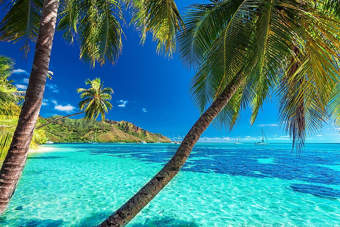
The island is the largest and the highest among all the islands in French Polynesia. Located about 2,734 miles south of Hawaii, 4,908 miles from Chile, and 3,541 miles from Australia, the island has an area of about 403 square miles. The formation of the island is attributed to volcanic activity, which also explains the hilly nature of the place. The highest point is Mont Orohena with a height of about 7,352 feet while the widest point of Tahiti is about 28 miles. The landscape comprises of several features such as rainforest, waterfalls, and rivers such as the Papenoo River and the Fautaua Falls. The climate is usually cool to hot with an average of between 70°F and 88°F while the most rain comes in August.