Where is Christmas Island?
Christmas Island is one of the seven external territories of Australia. It is located in the Indian Ocean, approximately 960 miles northwest of the mainland Australia and covers an area of 52 square miles. Christmas Island has a population of about 2,000 people with the majority of the people living in settlements on its northern tip. Several languages including English, Malay, and different Chinese dialects are spoken on the island. Its geographic isolation and minimum human disturbance have led to high endemism among its biodiversity, which is of interest to researchers and naturalists. The majority of the island forms part of the Christmas Island National Park.
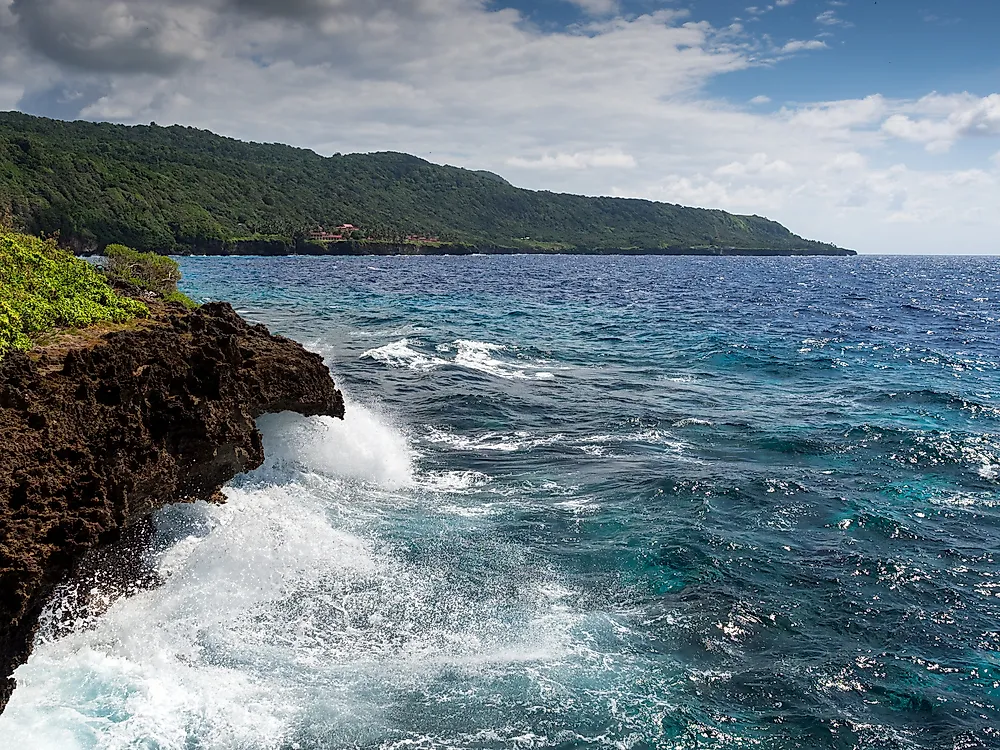
Geography Of Christmas Island
Christmas Island is about 12 miles in length and 9 miles in breadth. It covers an area of about 52 square miles and has an 83-mile coastline. Christmas Island a flat summit of an underwater mountain which measures about 14,800 feet high and rises about 13,780 feet below the sea and only 984 feet above the sea. The island is located about 1,600 miles northwest of Perth, 310 miles south of Indonesia, and 606 miles away from Cocos Island. Although Christmas Island has a long shoreline, only small parts of the shoreline are accessible. Some of the accessible beaches include Flying Fish Cove, Ethel, and Isabel Beach. The island experiences tropical climate with varying temperatures throughout the month. July to November is the driest period on the island characterized by occasional showers.
History Of Christmas Island
Christmas Island was named by Captain William Mynors who sailed past it on the Christmas Day in 1643. The earliest recorded visit to the island was by English navigator William Dampier in March 1688. It was uninhabited then. The first exploration attempt took place in 1857 by the Amethyst. However, an extensive survey of the island was conducted by John Murray during the 1872-1876 Challenger expedition. Christmas Island was finally annexed by the British Crown on June 6, 1988. A settlement was established in Flying Fish Cove soon after to collect timber and facilitate supplies for the growing industries on the Cocos Island. Phosphate mining on the island began in 1899. As of 2014, Christmas Island was the 199th largest exporter in the world with export products including phosphate products and computers.
Transfer To Australia
The sovereignty of Christmas Island was transferred to Australia by the UK after a payment of M$20 million to Singapore as a compensation for the loss of earning from phosphate revenue. The payment paved way for Christmas Island Act which came to effect on May 14, 1958. The Act enabled Britain to transfer the island from Singapore to Australia. Australia subsequently passed Christmas Island Act in September 1958 which placed the island under the authority of the Commonwealth of Australia on October 1, 1958.
Administration Of The Island
Christmas Island is administered by the Department of Infrastructure and Regional Development with the legal system under the authority of the Governor-General of Australia. The Governor-General appoints an Administrator to represent the monarch. Although the government of Australia provides services to the Island through the Department, local government services are provided by a unicameral Shire of Christmas Island which is made up of nine seats and elected every two years. Australian Citizens who live on the island are allowed to vote in federal elections.