Where is Teton County, Wyoming?
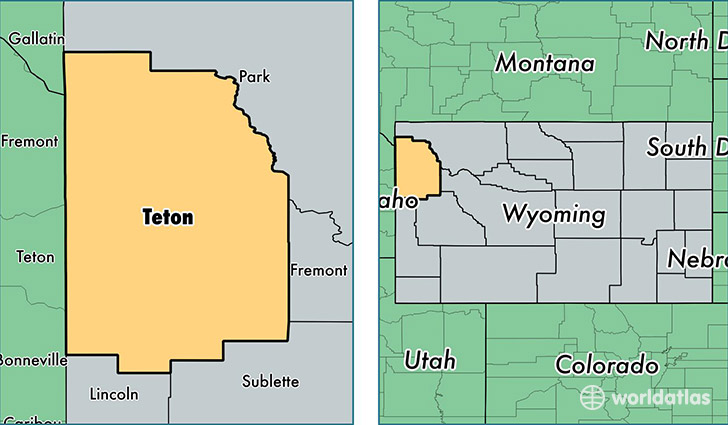
Teton County is a county equivalent area found in Wyoming, USA. The county government of Teton is found in the county seat of Jackson.
With a total 10,920.24 sq. km of land and water area, Teton County, Wyoming is the 119th largest county equivalent area in the United States. Home to 22,930 people, Teton County has a total 13103 households earning 68078 on average per year.
Teton County, Wyoming offers the following attractions to visitors: Grand Teton NP, John D. Rockefeller Jr. Memorial Parkway
Teton County, Wyoming - Quick Facts
| FIPS Code | 56039 |
| Area Codes | 307 |
| Time Zone | MST |
| Major Cities | Jackson (population: 16,134), Wilson (population: 3,659), Alta (population: 553), Teton Village (population: 407), Moran (population: 402), Kelly (population: 244), Moose (population: 183) |
| Land Area | 8,853 sq miles |
| Water Area | 3,995 sq miles |
| Household Income | $68,078 |
| Housing Units | 13,103 |
| Median Home Value | $660,100 |
| High School Grads | 97% of population |
| Holders of Bachelors Degrees | 49% of population |
| Retail Spending | $25,688 per capita |
| Food & Accomodation Sales | $327,363 per capita |
This page was last updated on June 30, 2016.