Where is Sheridan County, Wyoming?
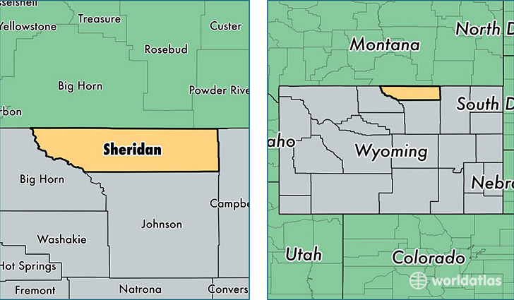
Sheridan County is a county equivalent area found in Wyoming, USA. The county government of Sheridan is found in the county seat of Sheridan.
With a total 6,545.1 sq. km of land and water area, Sheridan County, Wyoming is the 231st largest county equivalent area in the United States. Home to 30,032 people, Sheridan County has a total 14199 households earning 52008 on average per year.
Sheridan County, Wyoming - Quick Facts
| FIPS Code | 56033 |
| Area Codes | 307 |
| Time Zone | MST |
| Major Cities | Sheridan (population: 24,962), Ranchester (population: 1,172), Dayton (population: 1,090), Story (population: 856), Banner (population: 626), Clearmont (population: 323), Parkman (population: 272), Big Horn (population: 228), Wyarno (population: 37), Wolf (population: 35) |
| Land Area | 11,595 sq miles |
| Water Area | 2,524 sq miles |
| Household Income | $52,008 |
| Housing Units | 14,199 |
| Median Home Value | $220,400 |
| High School Grads | 94% of population |
| Holders of Bachelors Degrees | 27% of population |
| Retail Spending | $17,110 per capita |
| Food & Accomodation Sales | $66,787 per capita |
This page was last updated on June 30, 2016.