Where is Carbon County, Wyoming?
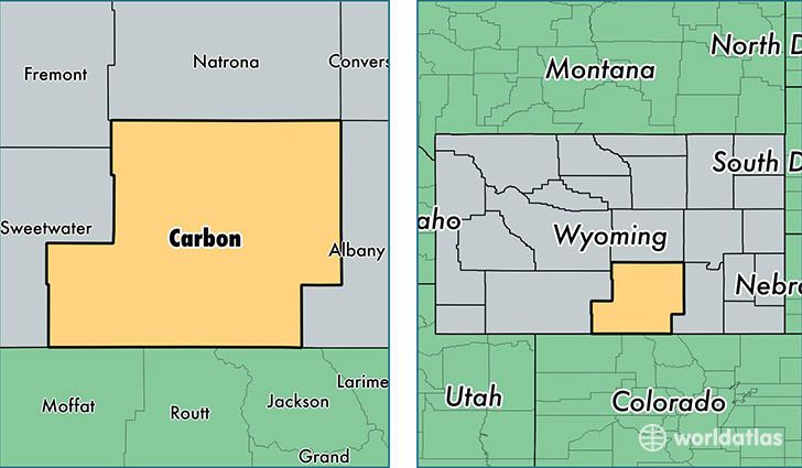
Carbon County is a county equivalent area found in Wyoming, USA. The county government of Carbon is found in the county seat of Rawlins.
With a total 20,626.57 sq. km of land and water area, Carbon County, Wyoming is the 42nd largest county equivalent area in the United States. Home to 15,854 people, Carbon County has a total 8525 households earning 55347 on average per year.
Carbon County, Wyoming - Quick Facts
| FIPS Code | 56007 |
| Area Codes | 307 |
| Time Zone | MST |
| Major Cities | Rawlins (population: 9,452), Saratoga (population: 2,254), Hanna (population: 916), Encampment (population: 865), Baggs (population: 707), Sinclair (population: 494), Medicine Bow (population: 355), Elk Mountain (population: 264), Dixon (population: 183), Savery (population: 95) |
| Land Area | 6,121 sq miles |
| Water Area | 7,898 sq miles |
| Household Income | $55,347 |
| Housing Units | 8,525 |
| Median Home Value | $143,500 |
| High School Grads | 90% of population |
| Holders of Bachelors Degrees | 18% of population |
| Retail Spending | $19,182 per capita |
| Food & Accomodation Sales | $42,949 per capita |
This page was last updated on June 30, 2016.