Where is Pierce County, Wisconsin?
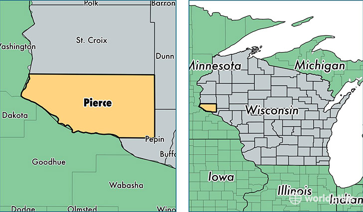
Pierce County is a county equivalent area found in Wisconsin, USA. The county government of Pierce is found in the county seat of Ellsworth.
With a total 1,532.95 sq. km of land and water area, Pierce County, Wisconsin is the 1770th largest county equivalent area in the United States. Home to 40,958 people, Pierce County has a total 16186 households earning 59226 on average per year.
Pierce County, Wisconsin - Quick Facts
| FIPS Code | 55093 |
| Area Codes | 715 |
| Time Zone | CST |
| Major Cities | River Falls (population: 22,343), Ellsworth (population: 6,784), Prescott (population: 6,588), Spring Valley (population: 3,208), Hager City (population: 2,220), Elmwood (population: 2,050), Plum City (population: 1,209), Bay City (population: 1,185), Maiden Rock (population: 1,056), Beldenville (population: 1,007) |
| Land Area | 15,814 sq miles |
| Water Area | 574 sq miles |
| Household Income | $59,226 |
| Housing Units | 16,186 |
| Median Home Value | $191,300 |
| High School Grads | 94% of population |
| Holders of Bachelors Degrees | 26% of population |
| Retail Spending | $5,243 per capita |
| Food & Accomodation Sales | $32,888 per capita |
This page was last updated on June 30, 2016.