Where is Ozaukee County, Wisconsin?
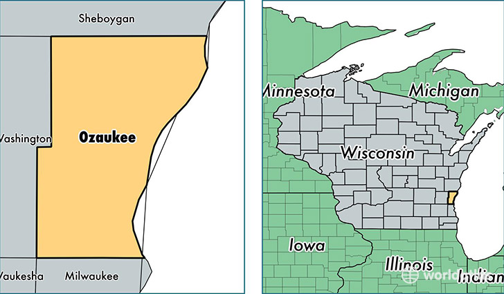
Ozaukee County is a county equivalent area found in Wisconsin, USA. The county government of Ozaukee is found in the county seat of Port Washington.
With a total 2,890.93 sq. km of land and water area, Ozaukee County, Wisconsin is the 652nd largest county equivalent area in the United States. Home to 87,470 people, Ozaukee County has a total 36435 households earning 75457 on average per year.
Ozaukee County, Wisconsin - Quick Facts
| FIPS Code | 55089 |
| Area Codes | 262 |
| Time Zone | CST |
| Major Cities | Mequon (population: 26,473), Cedarburg (population: 18,188), Grafton (population: 16,661), Port Washington (population: 12,943), Saukville (population: 5,743), Fredonia (population: 4,732), Belgium (population: 3,346) |
| Land Area | 33,772 sq miles |
| Water Area | 233 sq miles |
| Household Income | $75,457 |
| Housing Units | 36,435 |
| Median Home Value | $250,200 |
| High School Grads | 96% of population |
| Holders of Bachelors Degrees | 45% of population |
| Retail Spending | $11,432 per capita |
| Food & Accomodation Sales | $124,890 per capita |
This page was last updated on June 30, 2016.