Where is Manitowoc County, Wisconsin?
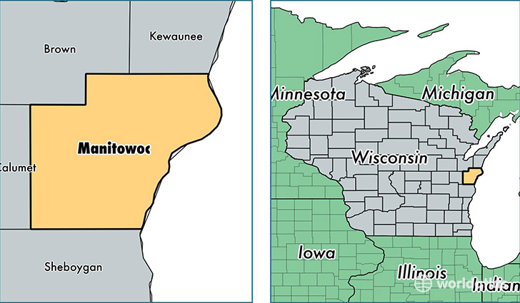
Manitowoc County is a county equivalent area found in Wisconsin, USA. The county government of Manitowoc is found in the county seat of Manitowoc.
With a total 3,869.64 sq. km of land and water area, Manitowoc County, Wisconsin is the 452nd largest county equivalent area in the United States. Home to 80,160 people, Manitowoc County has a total 37097 households earning 48881 on average per year.
Manitowoc County, Wisconsin - Quick Facts
| FIPS Code | 55071 |
| Area Codes | 920 |
| Time Zone | CST |
| Major Cities | Manitowoc (population: 39,839), Two Rivers (population: 14,743), Kiel (population: 6,638), Reedsville (population: 4,736), Mishicot (population: 2,656), Cleveland (population: 2,586), Whitelaw (population: 2,316), Valders (population: 2,237), Maribel (population: 1,553), Newton (population: 1,537) |
| Land Area | 30,950 sq miles |
| Water Area | 589 sq miles |
| Household Income | $48,881 |
| Housing Units | 37,097 |
| Median Home Value | $125,200 |
| High School Grads | 90% of population |
| Holders of Bachelors Degrees | 19% of population |
| Retail Spending | $10,090 per capita |
| Food & Accomodation Sales | $82,443 per capita |
This page was last updated on June 30, 2016.