Where is Iron County, Wisconsin?
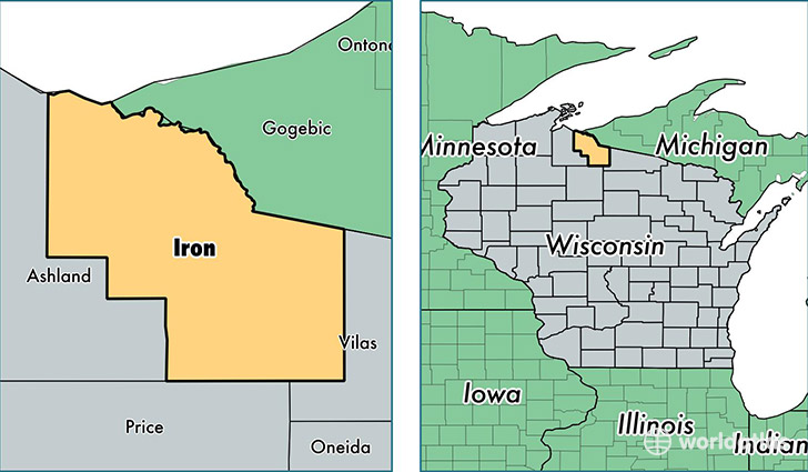
Iron County is a county equivalent area found in Wisconsin, USA. The county government of Iron is found in the county seat of Hurley.
With a total 2,380.62 sq. km of land and water area, Iron County, Wisconsin is the 898th largest county equivalent area in the United States. Home to 5,917 people, Iron County has a total 5995 households earning 39051 on average per year.
Iron County, Wisconsin - Quick Facts
| FIPS Code | 55051 |
| Area Codes | 715 |
| Time Zone | CST |
| Major Cities | Hurley (population: 2,466), Mercer (population: 1,396), Saxon (population: 793), Montreal (population: 687), Gile (population: 279), Iron Belt (population: 184), Upson (population: 60) |
| Land Area | 2,285 sq miles |
| Water Area | 758 sq miles |
| Household Income | $39,051 |
| Housing Units | 5,995 |
| Median Home Value | $108,300 |
| High School Grads | 92% of population |
| Holders of Bachelors Degrees | 21% of population |
| Retail Spending | $11,906 per capita |
This page was last updated on June 30, 2016.