Where is Tooele County, Utah?
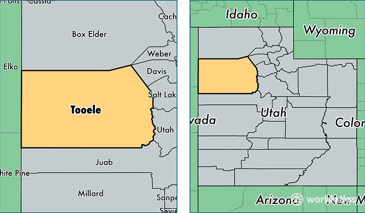
Tooele County is a county equivalent area found in Utah, USA. The county government of Tooele is found in the county seat of Tooele.
With a total 18,870.89 sq. km of land and water area, Tooele County, Utah is the 47th largest county equivalent area in the United States. Home to 61,598 people, Tooele County has a total 20038 households earning 61412 on average per year.
Tooele County, Utah - Quick Facts
| FIPS Code | 49045 |
| Area Codes | 435 |
| Time Zone | MST |
| Major Cities | Tooele (population: 45,567), Grantsville (population: 9,741), Wendover (population: 1,556), Stockton (population: 1,208), Dugway (population: 921), Rush Valley (population: 519), Vernon (population: 312), Ibapah (population: 212) |
| Land Area | 23,783 sq miles |
| Water Area | 6,942 sq miles |
| Household Income | $61,412 |
| Housing Units | 20,038 |
| Median Home Value | $177,500 |
| High School Grads | 92% of population |
| Holders of Bachelors Degrees | 20% of population |
| Retail Spending | $9,204 per capita |
| Food & Accomodation Sales | $35,159 per capita |
This page was last updated on June 30, 2016.