Where is McKinney, TX?
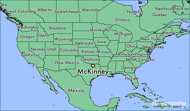
McKinney is a city found in Texas, The United States Of America. It is located 33.20 latitude and -96.62 longitude and it is situated at elevation 197 meters above sea level.
McKinney has a population of 131,117 making it the 17th biggest city in Texas. It operates on the CDT time zone, which means that it follows the same time zone as Houston.
Quick facts
| Country | The United States Of America |
| State | Texas |
| Population | 131,117 |
| Elevation | 197 m over sea level |
| Time Zone | CDT |
| Longitude | -96.615270 |
| Latitude | 33.197620 |
Mckinney has a population of around 150064, of which 73634 (49%) are male and 76430 (50%) are female. The average age of the inhabitants of Mckinney is 33.40, meaning that the average person is below the national median age of 37. For every male, there are approximately 1.04 females, meaning that the population is relatively evenly distributed between males and female(s).
Of Mckinney's 150064 residents, around 146606 (97.70%) identify as having a single race. The majority of the population is white, which consists of 79.10% of the population. Of the remaining population, 17054 are black/African Americans (11.40%), 679 are native Americans (0.50%), 7389 are asians (4.90%), 59 are pacific islanders (0.00%), 2680 are other (1.80%).
The median income of households in Mckinney is $81459.00, meaning that most of the households are above the poverty threshold for families of three. Of the total population, 3.50% of households reported an annual income of less than $10,000.
McKinney, TX Zipcodes
The city of McKinney has 5 zipcodes recognized by the United States Census Bureau: 75035, 75069, 75070, 75071, 75454.