Where is Garland, TX?
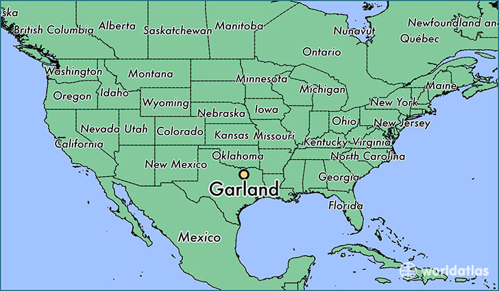
Garland is a city found in Texas, The United States Of America. It is located 32.91 latitude and -96.64 longitude and it is situated at elevation 174 meters above sea level.
Garland has a population of 226,876 making it the 11th biggest city in Texas. It operates on the CDT time zone, which means that it follows the same time zone as Houston.
Quick facts
| Country | The United States Of America |
| State | Texas |
| Population | 226,876 |
| Elevation | 174 m over sea level |
| Time Zone | CDT |
| Longitude | -96.638880 |
| Latitude | 32.912620 |
Garland has a population of around 234213, of which 114748 (48%) are male and 119465 (51%) are female. The average age of the inhabitants of Garland is 34.65, meaning that the average person is below the national median age of 37. For every male, there are approximately 1.04 females, meaning that the population is relatively evenly distributed between males and female(s).
Of Garland's 234213 residents, around 221468 (94.60%) identify as having a single race. The majority of the population is white, which consists of 51.30% of the population. Of the remaining population, 30518 are black/African Americans (13.00%), 1081 are native Americans (0.50%), 24634 are asians (10.00%), 132 are pacific islanders (0.10%), 45023 are other (19.00%).
The median income of households in Garland is $51970.00, meaning that most of the households are above the poverty threshold for families of three. Of the total population, 5.00% of households reported an annual income of less than $10,000.
Garland, TX Zipcodes
The city of Garland has 15 zipcodes recognized by the United States Census Bureau: 75040, 75041, 75042, 75043, 75044, 75048, 75081, 75082, 75089, 75098, 75150, 75218, 75228, 75238, 75243.