Where is El Paso, TX?
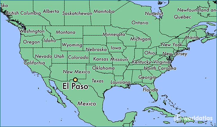
El Paso is a city found in Texas, The United States Of America. It is located 31.76 latitude and -106.49 longitude and it is situated at elevation 1137 meters above sea level.
El Paso has a population of 649,121 making it the biggest city in Texas. It operates on the MDT time zone.
Quick facts
| Country | The United States Of America |
| State | Texas |
| Population | 649,121 |
| Elevation | 1,137 m over sea level |
| Time Zone | MDT |
| Longitude | -106.486930 |
| Latitude | 31.758720 |
El-paso has a population of around 676325, of which 327487 (48%) are male and 348838 (51%) are female. The average age of the inhabitants of El-paso is 34.81, meaning that the average person is below the national median age of 37. For every male, there are approximately 1.07 females, meaning that the population is relatively evenly distributed between males and female(s).
Of El-paso's 676325 residents, around 661436 (97.80%) identify as having a single race. The majority of the population is white, which consists of 83.70% of the population. Of the remaining population, 25242 are black/African Americans (3.70%), 3612 are native Americans (0.50%), 8196 are asians (1.20%), 1241 are pacific islanders (0.20%), 57322 are other (8.50%).
The median income of households in El-paso is $42772.00, meaning that most of the households are above the poverty threshold for families of three. Of the total population, 9.40% of households reported an annual income of less than $10,000.
El Paso, TX Zipcodes
The city of El Paso has 26 zipcodes recognized by the United States Census Bureau: 79821, 79835, 79901, 79902, 79903, 79904, 79905, 79906, 79907, 79908, 79911, 79912, 79915, 79920, 79922, 79924, 79925, 79927, 79928, 79930, 79932, 79934, 79935, 79936, 79938, 88063.