Where is Abilene, TX?
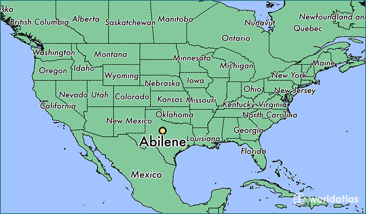
Abilene is a city found in Texas, The United States Of America. It is located 32.45 latitude and -99.73 longitude and it is situated at elevation 525 meters above sea level.
Abilene has a population of 117,063 making it the 23rd biggest city in Texas. It operates on the CDT time zone, which means that it follows the same time zone as Houston.
Quick facts
| Country | The United States Of America |
| State | Texas |
| Population | 117,063 |
| Elevation | 525 m over sea level |
| Time Zone | CDT |
| Longitude | -99.733140 |
| Latitude | 32.448740 |
Abilene has a population of around 122226, of which 63139 (51%) are male and 59087 (48%) are female. The average age of the inhabitants of Abilene is 34.99, meaning that the average person is below the national median age of 37. For every male, there are approximately 0.94 females, meaning that the population is relatively evenly distributed between males and female(s).
Of Abilene's 122226 residents, around 118637 (97.10%) identify as having a single race. The majority of the population is white, which consists of 77.10% of the population. Of the remaining population, 12648 are black/African Americans (10.30%), 878 are native Americans (0.70%), 2300 are asians (1.90%), 45 are pacific islanders (0.00%), 8523 are other (7.00%).
The median income of households in Abilene is $43189.00, meaning that most of the households are above the poverty threshold for families of three. Of the total population, 8.10% of households reported an annual income of less than $10,000.
Abilene, TX Zipcodes
The city of Abilene has 8 zipcodes recognized by the United States Census Bureau: 79563, 79601, 79602, 79603, 79605, 79606, 79607, 79699.