Where is Williamson County, Texas?
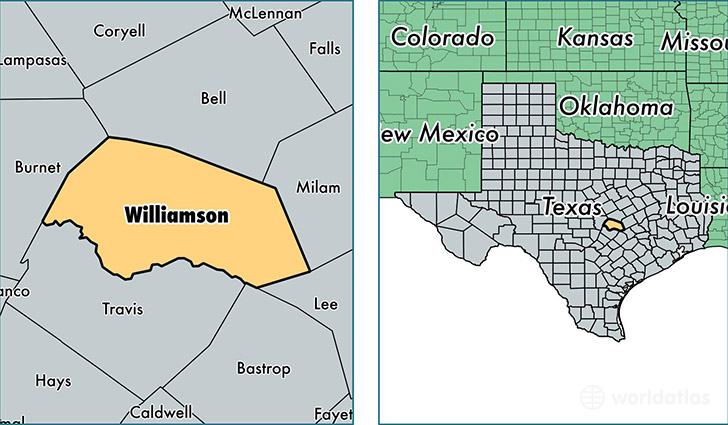
Williamson County is a county equivalent area found in Texas, USA. The county government of Williamson is found in the county seat of Georgetown.
With a total 2,938.1 sq. km of land and water area, Williamson County, Texas is the 636th largest county equivalent area in the United States. Home to 489,250 people, Williamson County has a total 171129 households earning 71803 on average per year.
Williamson County, Texas - Quick Facts
| FIPS Code | 48491 |
| Area Codes | 254,512 |
| Time Zone | CST |
| Major Cities | Round Rock (population: 150,538), Georgetown (population: 74,553), Cedar Park (population: 70,184), Austin (population: 53,564), Leander (population: 47,741), Hutto (population: 24,596), Taylor (population: 19,062), Liberty Hill (population: 10,204), Florence (population: 4,355), Jarrell (population: 4,177) |
| Land Area | 188,900 sq miles |
| Water Area | 1,118 sq miles |
| Household Income | $71,803 |
| Housing Units | 171,129 |
| Median Home Value | $178,900 |
| High School Grads | 92% of population |
| Holders of Bachelors Degrees | 38% of population |
| Retail Spending | $26,573 per capita |
| Food & Accomodation Sales | $583,644 per capita |
This page was last updated on June 30, 2016.