Where is Starr County, Texas?
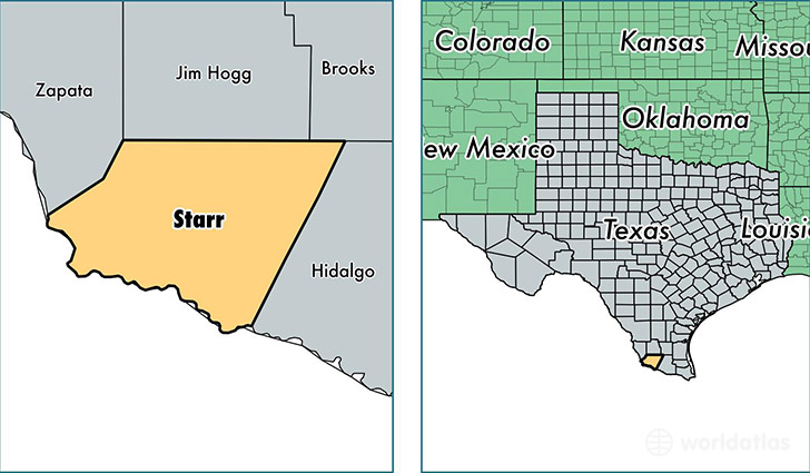
Starr County is a county equivalent area found in Texas, USA. The county government of Starr is found in the county seat of Rio Grande City.
With a total 3,183.36 sq. km of land and water area, Starr County, Texas is the 571st largest county equivalent area in the United States. Home to 62,955 people, Starr County has a total 19540 households earning 24927 on average per year.
Starr County, Texas - Quick Facts
| FIPS Code | 48427 |
| Area Codes | 956 |
| Time Zone | CST |
| Major Cities | Rio Grande City (population: 40,884), Roma (population: 18,320), Garciasville (population: 1,473), Grulla (population: 682), Falcon Heights (population: 562), Delmita (population: 455), Salineno (population: 400), Santa Elena (population: 267), San Isidro (population: 240) |
| Land Area | 24,307 sq miles |
| Water Area | 1,223 sq miles |
| Household Income | $24,927 |
| Housing Units | 19,540 |
| Median Home Value | $62,900 |
| High School Grads | 45% of population |
| Holders of Bachelors Degrees | 9% of population |
| Retail Spending | $7,306 per capita |
| Food & Accomodation Sales | $26,162 per capita |
This page was last updated on June 30, 2016.