Where is Brown County, South Dakota?
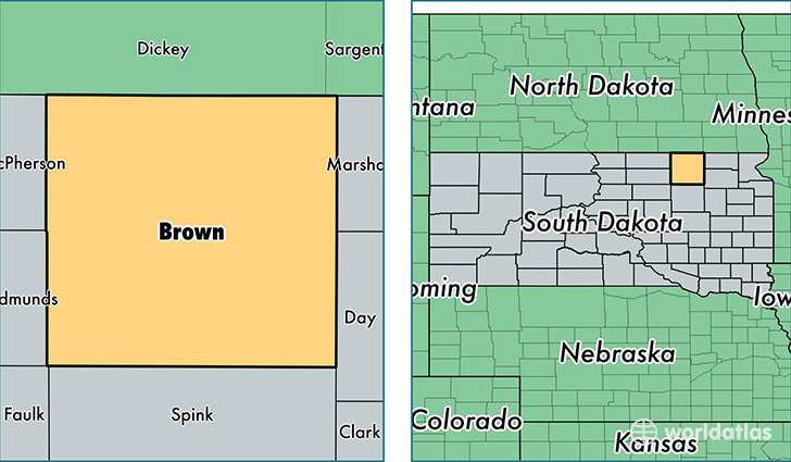
Brown County is a county equivalent area found in South Dakota, USA. The county government of Brown is found in the county seat of Aberdeen.
With a total 4,483.14 sq. km of land and water area, Brown County, South Dakota is the 388th largest county equivalent area in the United States. Home to 38,408 people, Brown County has a total 17262 households earning 51398 on average per year.
Brown County, South Dakota - Quick Facts
| FIPS Code | 46013 |
| Area Codes | 605 |
| Time Zone | CST |
| Major Cities | Aberdeen (population: 30,719), Groton (population: 2,113), Warner (population: 680), Bath (population: 633), Frederick (population: 620), Westport (population: 604), Hecla (population: 482), Claremont (population: 471), Columbia (population: 391), Mansfield (population: 372) |
| Land Area | 14,829 sq miles |
| Water Area | 1,713 sq miles |
| Household Income | $51,398 |
| Housing Units | 17,262 |
| Median Home Value | $133,900 |
| High School Grads | 92% of population |
| Holders of Bachelors Degrees | 27% of population |
| Retail Spending | $19,735 per capita |
| Food & Accomodation Sales | $74,059 per capita |
This page was last updated on June 30, 2016.