Where is Woodward County, Oklahoma?
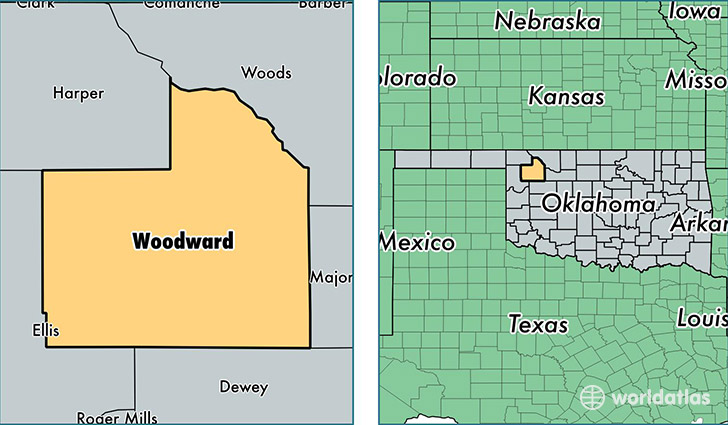
Woodward County is a county equivalent area found in Oklahoma, USA. The county government of Woodward is found in the county seat of Woodward.
With a total 3,227.51 sq. km of land and water area, Woodward County, Oklahoma is the 555th largest county equivalent area in the United States. Home to 21,529 people, Woodward County has a total 8857 households earning 51867 on average per year.
Woodward County, Oklahoma - Quick Facts
| FIPS Code | 40153 |
| Area Codes | 580 |
| Time Zone | CST |
| Major Cities | Woodward (population: 15,624), Mooreland (population: 2,098), Fort Supply (population: 1,514), Sharon (population: 637), Mutual (population: 387) |
| Land Area | 8,312 sq miles |
| Water Area | 1,242 sq miles |
| Household Income | $51,867 |
| Housing Units | 8,857 |
| Median Home Value | $104,300 |
| High School Grads | 85% of population |
| Holders of Bachelors Degrees | 18% of population |
| Retail Spending | $17,219 per capita |
| Food & Accomodation Sales | $34,204 per capita |
This page was last updated on June 30, 2016.