Where is Seminole County, Oklahoma?
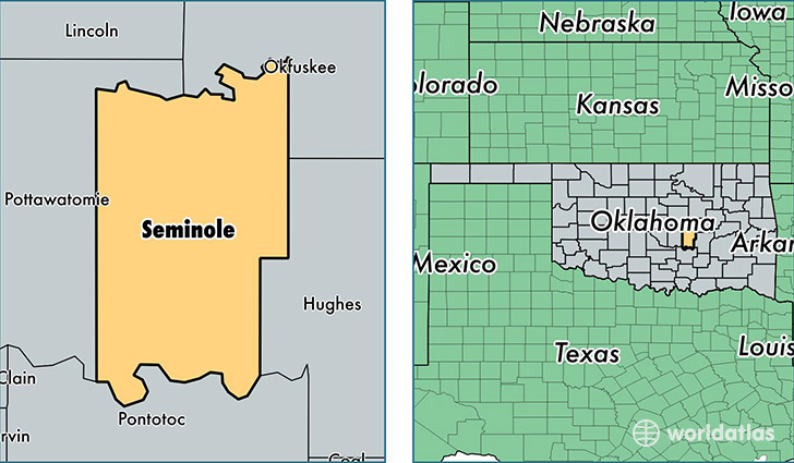
Seminole County is a county equivalent area found in Oklahoma, USA. The county government of Seminole is found in the county seat of Wewoka.
With a total 1,658.82 sq. km of land and water area, Seminole County, Oklahoma is the 1607th largest county equivalent area in the United States. Home to 25,421 people, Seminole County has a total 11616 households earning 33819 on average per year.
Seminole County, Oklahoma - Quick Facts
| FIPS Code | 40133 |
| Area Codes | 405,580 |
| Time Zone | CST |
| Major Cities | Seminole (population: 13,135), Wewoka (population: 6,016), Konawa (population: 3,136), Sasakwa (population: 1,043), Cromwell (population: 309), Bowlegs (population: 228) |
| Land Area | 9,815 sq miles |
| Water Area | 633 sq miles |
| Household Income | $33,819 |
| Housing Units | 11,616 |
| Median Home Value | $70,500 |
| High School Grads | 82% of population |
| Holders of Bachelors Degrees | 14% of population |
| Retail Spending | $8,018 per capita |
| Food & Accomodation Sales | $17,655 per capita |
This page was last updated on June 30, 2016.