Where is Pottawatomie County, Oklahoma?
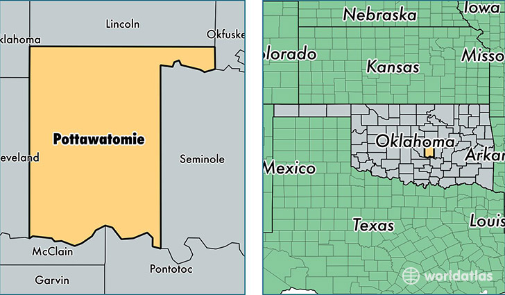
Pottawatomie County is a county equivalent area found in Oklahoma, USA. The county government of Pottawatomie is found in the county seat of Shawnee.
With a total 2,054.9 sq. km of land and water area, Pottawatomie County, Oklahoma is the 1193rd largest county equivalent area in the United States. Home to 71,811 people, Pottawatomie County has a total 29422 households earning 42764 on average per year.
Pottawatomie County, Oklahoma - Quick Facts
| FIPS Code | 40125 |
| Area Codes | 405 |
| Time Zone | CST |
| Major Cities | Shawnee (population: 42,071), Tecumseh (population: 12,045), McLoud (population: 9,975), Earlsboro (population: 1,947), Maud (population: 1,916), Wanette (population: 1,597), Macomb (population: 1,373), Asher (population: 1,275), Saint Louis (population: 224) |
| Land Area | 27,726 sq miles |
| Water Area | 788 sq miles |
| Household Income | $42,764 |
| Housing Units | 29,422 |
| Median Home Value | $96,400 |
| High School Grads | 86% of population |
| Holders of Bachelors Degrees | 18% of population |
| Retail Spending | $9,864 per capita |
| Food & Accomodation Sales | $98,896 per capita |
| Universities and Colleges | Saint Gregorys University |
This page was last updated on June 30, 2016.