Where is Staten Island, NY?
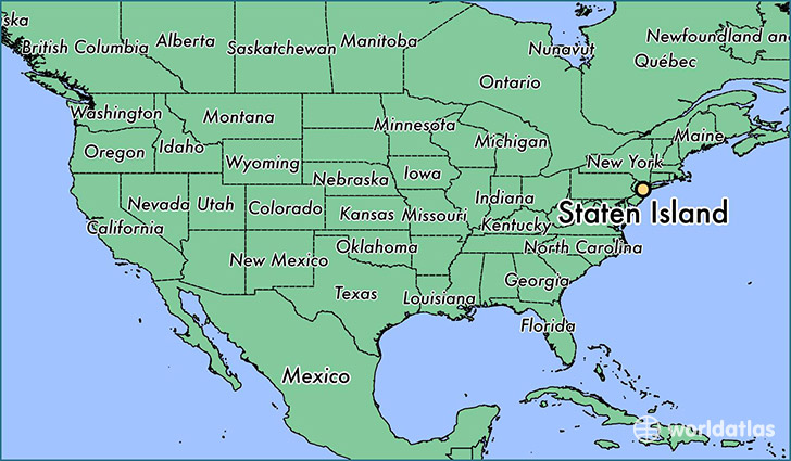
Staten Island is a city found in New York, The United States Of America. It is located 40.56 latitude and -74.14 longitude and it is situated at elevation 23 meters above sea level.
Staten Island has a population of 468,730 making it the 6th biggest city in New York. It operates on the EDT time zone, which means that it follows the same time zone as New York City.
Quick facts
| Country | The United States Of America |
| State | New York |
| Population | 468,730 |
| Elevation | 23 m over sea level |
| Time Zone | EDT |
| Longitude | -74.139860 |
| Latitude | 40.562330 |
This page was last updated on October 2, 2015.