Where is Sheridan County, Nebraska?
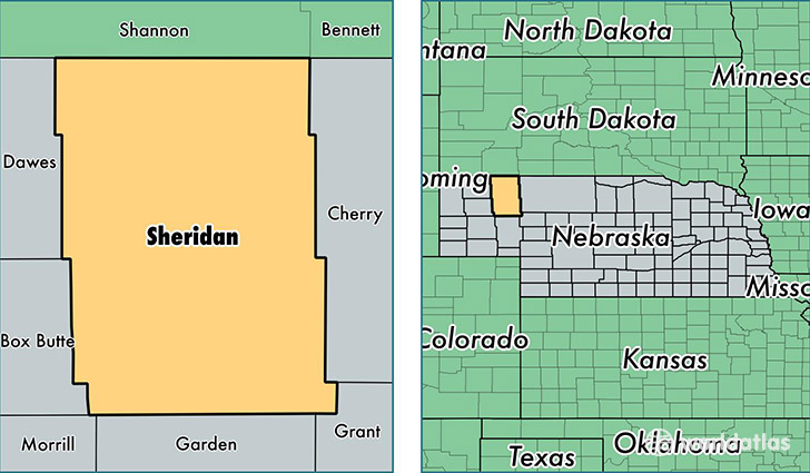
Sheridan County is a county equivalent area found in Nebraska, USA. The county government of Sheridan is found in the county seat of Rushville.
With a total 6,396.77 sq. km of land and water area, Sheridan County, Nebraska is the 235th largest county equivalent area in the United States. Home to 5,259 people, Sheridan County has a total 2898 households earning 38548 on average per year.
Sheridan County, Nebraska - Quick Facts
| FIPS Code | 31161 |
| Area Codes | 308 |
| Time Zone | MST |
| Major Cities | Gordon (population: 2,473), Rushville (population: 1,323), Hay Springs (population: 1,216), Lakeside (population: 226), Ellsworth (population: 117), Whiteclay (population: 42) |
| Land Area | 2,031 sq miles |
| Water Area | 2,441 sq miles |
| Household Income | $38,548 |
| Housing Units | 2,898 |
| Median Home Value | $65,800 |
| High School Grads | 90% of population |
| Holders of Bachelors Degrees | 23% of population |
| Retail Spending | $9,302 per capita |
| Food & Accomodation Sales | $2,876 per capita |
This page was last updated on June 30, 2016.