Where is Furnas County, Nebraska?
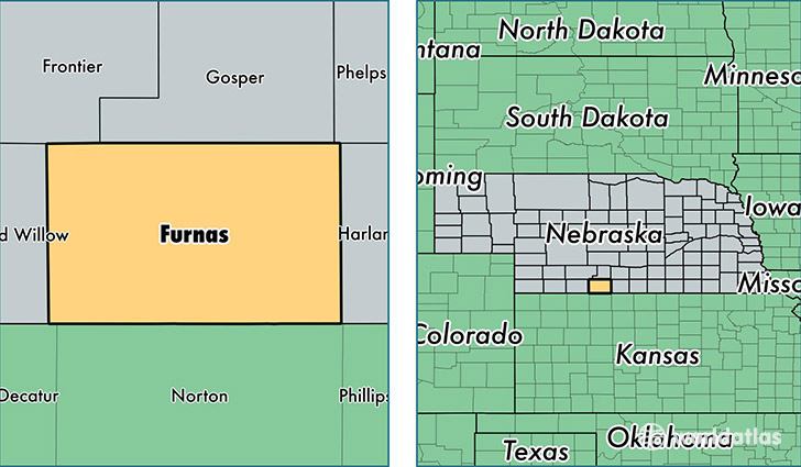
Furnas County is a county equivalent area found in Nebraska, USA. The county government of Furnas is found in the county seat of Beaver City.
With a total 1,866.46 sq. km of land and water area, Furnas County, Nebraska is the 1362nd largest county equivalent area in the United States. Home to 4,888 people, Furnas County has a total 2699 households earning 39603 on average per year.
Furnas County, Nebraska - Quick Facts
| FIPS Code | 31065 |
| Area Codes | 308 |
| Time Zone | CST |
| Major Cities | Cambridge (population: 1,554), Arapahoe (population: 1,322), Oxford (population: 1,132), Beaver City (population: 774), Holbrook (population: 359), Edison (population: 240), Wilsonville (population: 191), Hendley (population: 52) |
| Land Area | 1,887 sq miles |
| Water Area | 719 sq miles |
| Household Income | $39,603 |
| Housing Units | 2,699 |
| Median Home Value | $56,400 |
| High School Grads | 89% of population |
| Holders of Bachelors Degrees | 17% of population |
| Retail Spending | $10,789 per capita |
This page was last updated on June 30, 2016.