Where is Pemiscot County, Missouri?
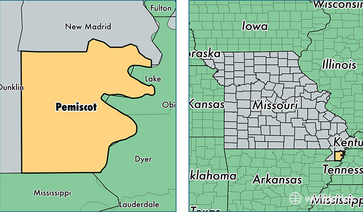
Pemiscot County is a county equivalent area found in Missouri, USA. The county government of Pemiscot is found in the county seat of Caruthersville.
With a total 1,329.79 sq. km of land and water area, Pemiscot County, Missouri is the 2125th largest county equivalent area in the United States. Home to 17,650 people, Pemiscot County has a total 8089 households earning 28889 on average per year.
Pemiscot County, Missouri - Quick Facts
| FIPS Code | 29155 |
| Area Codes | 573 |
| Time Zone | CST |
| Major Cities | Caruthersville (population: 7,030), Hayti (population: 4,182), Steele (population: 3,891), Bragg City (population: 820), Wardell (population: 765), Cooter (population: 480), Holland (population: 241), Braggadocio (population: 83) |
| Land Area | 6,815 sq miles |
| Water Area | 493 sq miles |
| Household Income | $28,889 |
| Housing Units | 8,089 |
| Median Home Value | $64,300 |
| High School Grads | 73% of population |
| Holders of Bachelors Degrees | 10% of population |
| Retail Spending | $11,275 per capita |
| Food & Accomodation Sales | $14,371 per capita |
This page was last updated on June 30, 2016.