Where is Yellow Medicine County, Minnesota?
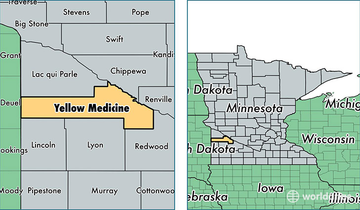
Yellow Medicine County is a county equivalent area found in Minnesota, USA. The county government of Yellow Medicine is found in the county seat of Granite Falls.
With a total 1,976.75 sq. km of land and water area, Yellow Medicine County, Minnesota is the 1256th largest county equivalent area in the United States. Home to 10,109 people, Yellow Medicine County has a total 4735 households earning 52510 on average per year.
Yellow Medicine County, Minnesota - Quick Facts
| FIPS Code | 27173 |
| Area Codes | 507,320 |
| Time Zone | CST |
| Major Cities | Granite Falls (population: 4,057), Canby (population: 2,990), Clarkfield (population: 1,370), Wood Lake (population: 843), Echo (population: 583), Hanley Falls (population: 520), Porter (population: 469) |
| Land Area | 3,903 sq miles |
| Water Area | 759 sq miles |
| Household Income | $52,510 |
| Housing Units | 4,735 |
| Median Home Value | $97,600 |
| High School Grads | 90% of population |
| Holders of Bachelors Degrees | 17% of population |
| Retail Spending | $11,221 per capita |
| Food & Accomodation Sales | $38,276 per capita |
| Universities and Colleges | Minnesota West Community and Technical College |
This page was last updated on June 30, 2016.