Where is Itasca County, Minnesota?
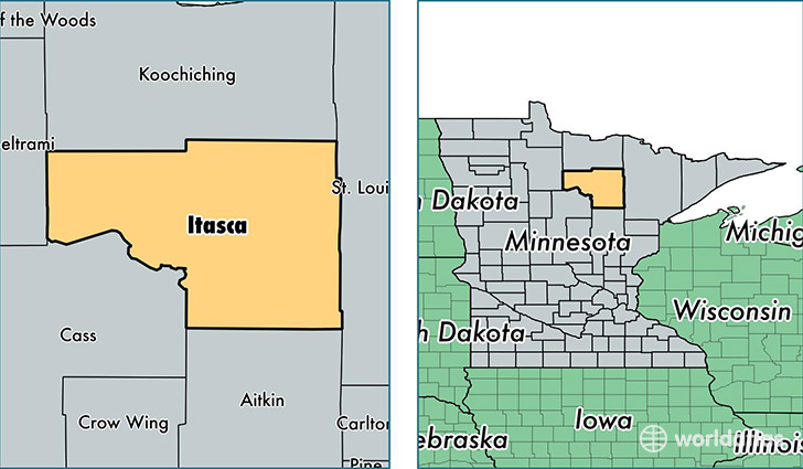
Itasca County is a county equivalent area found in Minnesota, USA. The county government of Itasca is found in the county seat of Grand Rapids.
With a total 7,583.34 sq. km of land and water area, Itasca County, Minnesota is the 191st largest county equivalent area in the United States. Home to 45,589 people, Itasca County has a total 27042 households earning 46912 on average per year.
Itasca County, Minnesota - Quick Facts
| FIPS Code | 27061 |
| Area Codes | 218 |
| Time Zone | CST |
| Major Cities | Grand Rapids (population: 20,236), Deer River (population: 5,151), Bovey (population: 4,089), Cohasset (population: 3,422), Nashwauk (population: 2,321), Bigfork (population: 1,687), Pengilly (population: 1,209), Coleraine (population: 1,204), Keewatin (population: 992), Northome (population: 941) |
| Land Area | 17,602 sq miles |
| Water Area | 2,668 sq miles |
| Household Income | $46,912 |
| Housing Units | 27,042 |
| Median Home Value | $152,200 |
| High School Grads | 93% of population |
| Holders of Bachelors Degrees | 21% of population |
| Retail Spending | $11,733 per capita |
| Food & Accomodation Sales | $51,027 per capita |
This page was last updated on June 30, 2016.