Where is Marion County, Kansas?
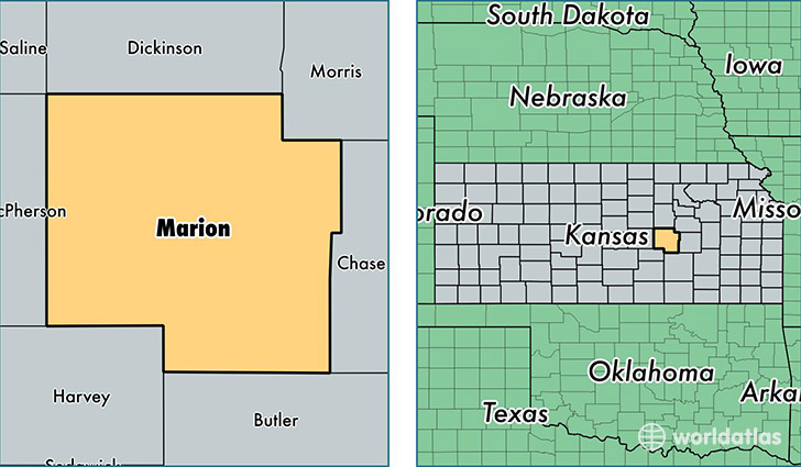
Marion County is a county equivalent area found in Kansas, USA. The county government of Marion is found in the county seat of Marion.
With a total 2,470.15 sq. km of land and water area, Marion County, Kansas is the 830th largest county equivalent area in the United States. Home to 12,208 people, Marion County has a total 5917 households earning 45830 on average per year.
Marion County, Kansas - Quick Facts
| FIPS Code | 20115 |
| Area Codes | 620,785 |
| Time Zone | CST |
| Major Cities | Hillsboro (population: 3,844), Marion (population: 3,124), Peabody (population: 1,747), Florence (population: 568), Goessel (population: 525), Lincolnville (population: 444), Tampa (population: 329), Lehigh (population: 301), Durham (population: 292), Lost Springs (population: 173) |
| Land Area | 4,714 sq miles |
| Water Area | 944 sq miles |
| Household Income | $45,830 |
| Housing Units | 5,917 |
| Median Home Value | $83,000 |
| High School Grads | 89% of population |
| Holders of Bachelors Degrees | 21% of population |
| Retail Spending | $5,743 per capita |
| Food & Accomodation Sales | $5,621 per capita |
This page was last updated on June 30, 2016.