Where is Peoria, IL?
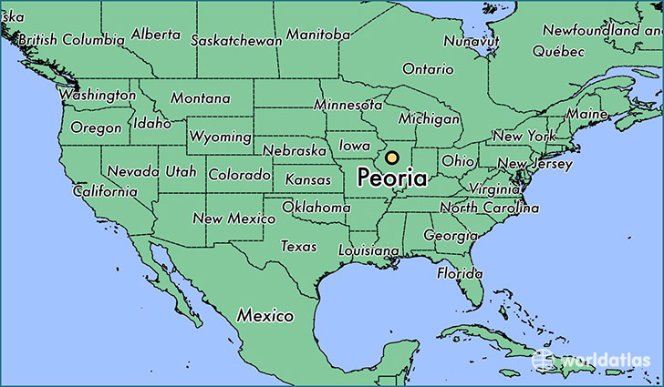
Peoria is a city found in Illinois, The United States Of America. It is located 40.69 latitude and -89.59 longitude and it is situated at elevation 165 meters above sea level.
Peoria has a population of 115,007 making it the 7th biggest city in Illinois. It operates on the CDT time zone, which means that it follows the same time zone as Chicago.
Quick facts
| Country | The United States Of America |
| State | Illinois |
| Population | 115,007 |
| Elevation | 165 m over sea level |
| Time Zone | CDT |
| Longitude | -89.588990 |
| Latitude | 40.693650 |
Peoria has a population of around 115847, of which 55067 (47%) are male and 60780 (52%) are female. The average age of the inhabitants of Peoria is 36.30, meaning that the average person is below the national median age of 37. For every male, there are approximately 1.1 females, meaning that the population is relatively evenly distributed between males and female(s).
Of Peoria's 115847 residents, around 111247 (96.00%) identify as having a single race. The majority of the population is white, which consists of 61.70% of the population. Of the remaining population, 30613 are black/African Americans (26.40%), 447 are native Americans (0.40%), 6330 are asians (5.50%), 15 are pacific islanders (0.00%), 2317 are other (2.00%).
The median income of households in Peoria is $45552.00, meaning that most of the households are above the poverty threshold for families of three. Of the total population, 10.80% of households reported an annual income of less than $10,000.
Peoria, IL Zipcodes
The city of Peoria has 12 zipcodes recognized by the United States Census Bureau: 61525, 61528, 61602, 61603, 61604, 61605, 61606, 61607, 61614, 61615, 61616, 61625.