Where is Polk County, Iowa?
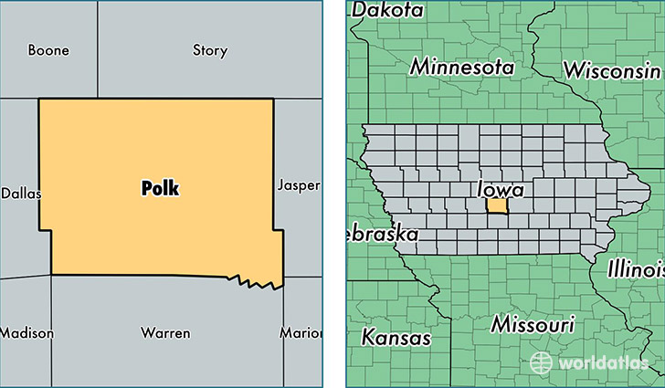
Polk County is a county equivalent area found in Iowa, USA. The county government of Polk is found in the county seat of Des Moines.
With a total 1,532.07 sq. km of land and water area, Polk County, Iowa is the 1772nd largest county equivalent area in the United States. Home to 459,862 people, Polk County has a total 188671 households earning 59018 on average per year.
Polk County, Iowa offers the following attractions to visitors: Des Moines Art Center, Adventureland
Polk County, Iowa - Quick Facts
| FIPS Code | 19153 |
| Area Codes | 515 |
| Time Zone | CST |
| Major Cities | Des Moines (population: 218,727), West Des Moines (population: 57,552), Ankeny (population: 51,085), Urbandale (population: 32,486), Johnston (population: 18,030), Altoona (population: 16,625), Clive (population: 16,189), Pleasant Hill (population: 10,784), Grimes (population: 9,702), Bondurant (population: 5,550) |
| Land Area | 177,554 sq miles |
| Water Area | 574 sq miles |
| Household Income | $59,018 |
| Housing Units | 188,671 |
| Median Home Value | $154,400 |
| High School Grads | 92% of population |
| Holders of Bachelors Degrees | 35% of population |
| Retail Spending | $16,130 per capita |
| Food & Accomodation Sales | $825,244 per capita |
| Universities and Colleges | Des Moines Area Community College, American College of Hairstyling-Des Moines, Iowa School of Beauty |
This page was last updated on June 30, 2016.