Where is Grady County, Georgia?
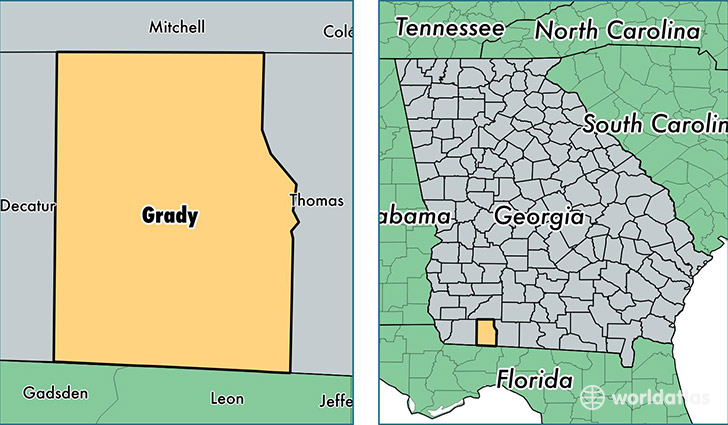
Grady County is a county equivalent area found in Georgia, USA. The county government of Grady is found in the county seat of Cairo.
With a total 1,192.08 sq. km of land and water area, Grady County, Georgia is the 2315th largest county equivalent area in the United States. Home to 25,359 people, Grady County has a total 10620 households earning 30571 on average per year.
Grady County, Georgia - Quick Facts
| FIPS Code | 13131 |
| Area Codes | 229 |
| Time Zone | EST |
| Major Cities | Cairo (population: 19,316), Whigham (population: 3,487) |
| Land Area | 9,791 sq miles |
| Water Area | 454 sq miles |
| Household Income | $30,571 |
| Housing Units | 10,620 |
| Median Home Value | $110,800 |
| High School Grads | 73% of population |
| Holders of Bachelors Degrees | 11% of population |
| Retail Spending | $6,750 per capita |
| Food & Accomodation Sales | $13,083 per capita |
This page was last updated on June 30, 2016.