Where is Pensacola, FL?
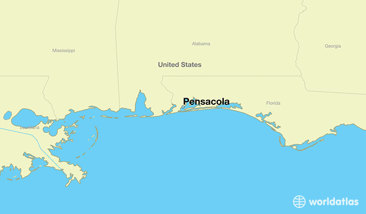
Pensacola is a city found in Florida, The United States Of America. It is located 30.42 latitude and -87.22 longitude and it is situated at elevation 24 meters above sea level.
Pensacola has a population of 51,923 making it the 2nd biggest city in Florida. It operates on the CDT time zone, which means that it follows the same time zone as East Pensacola Heights.
Quick facts
| Country | The United States Of America |
| State | Florida |
| Population | 51,923 |
| Elevation | 24 m over sea level |
| Time Zone | CDT |
| Longitude | -87.216910 |
| Latitude | 30.421310 |
Pensacola has a population of around 52752, of which 25443 (48%) are male and 27309 (51%) are female. The average age of the inhabitants of Pensacola is 40.40, meaning that the average person is above the national median age of 37. For every male, there are approximately 1.07 females, meaning that the population is relatively evenly distributed between males and female(s).
Of Pensacola's 52752 residents, around 49972 (94.70%) identify as having a single race. The majority of the population is white, which consists of 64.30% of the population. Of the remaining population, 14492 are black/African Americans (27.50%), 116 are native Americans (0.20%), 1045 are asians (2.00%), 393 are other (0.70%).
The median income of households in Pensacola is $45527.00, meaning that most of the households are above the poverty threshold for families of three. Of the total population, 9.20% of households reported an annual income of less than $10,000.
Pensacola, FL Zipcodes
The city of Pensacola has 7 zipcodes recognized by the United States Census Bureau: 32501, 32502, 32503, 32504, 32505, 32507, 32514.