Where is Pembroke Pines, FL?
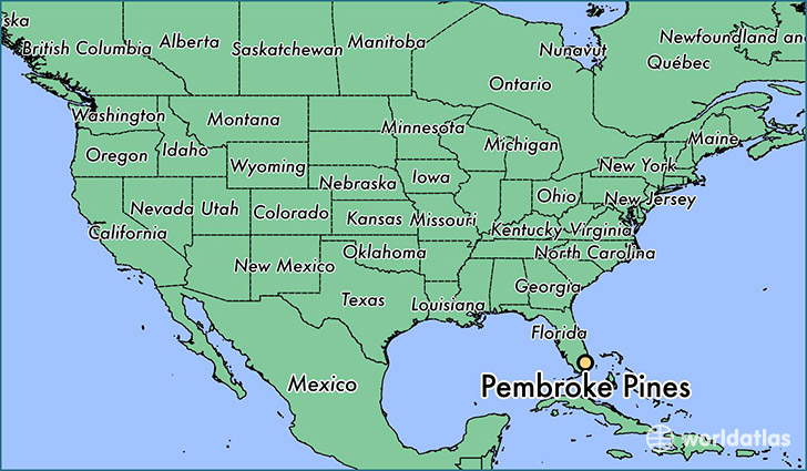
Pembroke Pines is a city found in Florida, The United States Of America. It is located 26.00 latitude and -80.22 longitude and it is situated at elevation 10 meters above sea level.
Pembroke Pines has a population of 154,750 making it the 10th biggest city in Florida. It operates on the EDT time zone, which means that it follows the same time zone as Jacksonville.
Quick facts
| Country | The United States Of America |
| State | Florida |
| Population | 154,750 |
| Elevation | 10 m over sea level |
| Time Zone | EDT |
| Longitude | -80.223940 |
| Latitude | 26.003150 |
Pembroke-pines has a population of around 162243, of which 76003 (46%) are male and 86240 (53%) are female. The average age of the inhabitants of Pembroke-pines is 39.56, meaning that the average person is above the national median age of 37. For every male, there are approximately 1.13 females, meaning that the population is relatively evenly distributed between males and female(s).
Of Pembroke-pines's 162243 residents, around 158051 (97.40%) identify as having a single race. The majority of the population is white, which consists of 66.70% of the population. Of the remaining population, 32633 are black/African Americans (20.10%), 585 are native Americans (0.40%), 9096 are asians (5.60%), 27 are pacific islanders (0.00%), 7549 are other (4.70%).
The median income of households in Pembroke-pines is $61279.00, meaning that most of the households are above the poverty threshold for families of three. Of the total population, 5.90% of households reported an annual income of less than $10,000.
Pembroke Pines, FL Zipcodes
The city of Pembroke Pines has 10 zipcodes recognized by the United States Census Bureau: 33023, 33024, 33025, 33026, 33027, 33028, 33029, 33330, 33331, 33332.