Where is Miramar, FL?
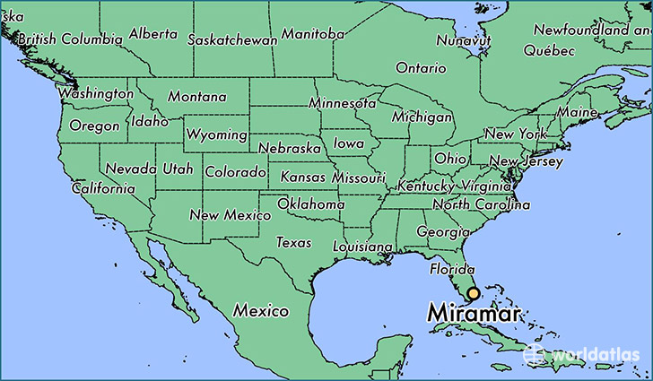
Miramar is a city found in Florida, The United States Of America. It is located 25.99 latitude and -80.23 longitude and it is situated at elevation 8 meters above sea level.
Miramar has a population of 122,041 making it the 14th biggest city in Florida. It operates on the EDT time zone, which means that it follows the same time zone as Jacksonville.
Quick facts
| Country | The United States Of America |
| State | Florida |
| Population | 122,041 |
| Elevation | 8 m over sea level |
| Time Zone | EDT |
| Longitude | -80.232270 |
| Latitude | 25.987310 |
Miramar has a population of around 131384, of which 62876 (47%) are male and 68508 (52%) are female. The average age of the inhabitants of Miramar is 34.98, meaning that the average person is below the national median age of 37. For every male, there are approximately 1.09 females, meaning that the population is relatively evenly distributed between males and female(s).
Of Miramar's 131384 residents, around 127335 (96.90%) identify as having a single race. Of the population, 55885 are white (42.50%), 59321 are black/African Americans (45.20%), 60 are native Americans (0.00%), 7568 are asians (5.80%), 9 are pacific islanders (0.00%), 4492 are other (3.40%).
The median income of households in Miramar is $65282.00, meaning that most of the households are above the poverty threshold for families of three. Of the total population, 4.10% of households reported an annual income of less than $10,000.
Miramar, FL Zipcodes
The city of Miramar has 4 zipcodes recognized by the United States Census Bureau: 33023, 33025, 33027, 33029.