Where is Milford, CT?
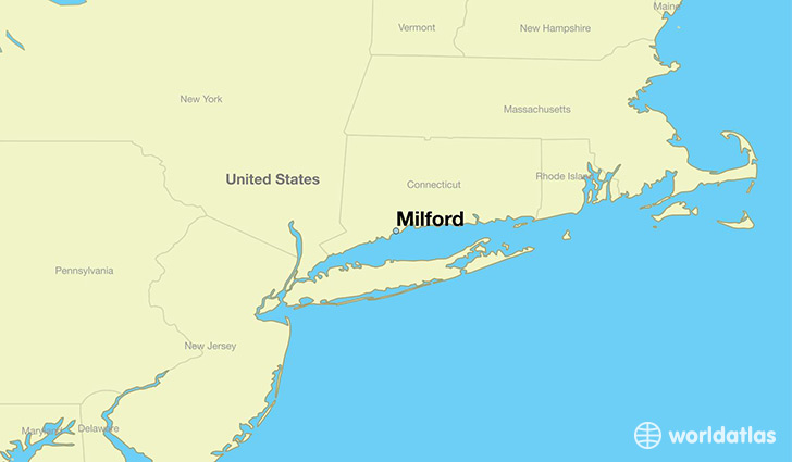
Milford is a city found in Connecticut, The United States Of America. It is located 41.22 latitude and -73.06 longitude and it is situated at elevation 13 meters above sea level.
Milford has a population of 52,759 making it the 17th biggest city in Connecticut. It operates on the EDT time zone, which means that it follows the same time zone as Bridgeport.
Quick facts
| Country | The United States Of America |
| State | Connecticut |
| Population | 52,759 |
| Elevation | 13 m over sea level |
| Time Zone | EDT |
| Longitude | -73.056500 |
| Latitude | 41.222320 |
Milford has a population of around 51643, of which 24945 (48%) are male and 26698 (51%) are female. The average age of the inhabitants of Milford is 41.91, meaning that the average person is above the national median age of 37. For every male, there are approximately 1.07 females, meaning that the population is relatively evenly distributed between males and female(s).
Of Milford's 51643 residents, around 50901 (98.60%) identify as having a single race. The majority of the population is white, which consists of 90.60% of the population. Of the remaining population, 1158 are black/African Americans (2.20%), 101 are native Americans (0.20%), 2328 are asians (4.50%), 545 are other (1.10%).
The median income of households in Milford is $80156.00, meaning that most of the households are above the poverty threshold for families of three. Of the total population, 5.20% of households reported an annual income of less than $10,000.
Milford, CT Zipcodes
The city of Milford has 2 zipcodes recognized by the United States Census Bureau: 6460, 6461.