Where is Auburn, AL?
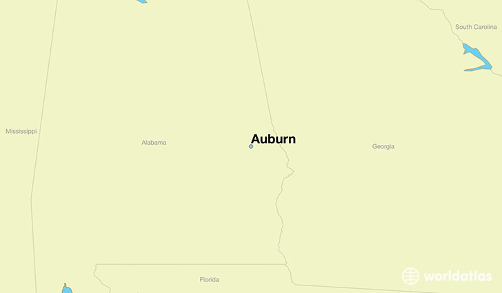
Auburn is a city found in Alabama, The United States Of America. It is located 32.61 latitude and -85.48 longitude and it is situated at elevation 220 meters above sea level.
Auburn has a population of 53,380 making it the 9th biggest city in Alabama. It operates on the CDT time zone, which means that it follows the same time zone as Birmingham.
Quick facts
| Country | The United States Of America |
| State | Alabama |
| Population | 53,380 |
| Elevation | 220 m over sea level |
| Time Zone | CDT |
| Longitude | -85.480780 |
| Latitude | 32.609860 |
Auburn has a population of around 58693, of which 29379 (50%) are male and 29314 (49%) are female. The average age of the inhabitants of Auburn is 29.72, meaning that the average person is below the national median age of 37. For every male, there are approximately 1 females, meaning that the population is relatively evenly distributed between males and female(s).
Of Auburn's 58693 residents, around 57996 (98.80%) identify as having a single race. The majority of the population is white, which consists of 72.30% of the population. Of the remaining population, 10432 are black/African Americans (17.80%), 73 are native Americans (0.10%), 4191 are asians (7.10%), 26 are pacific islanders (0.00%), 826 are other (1.40%).
The median income of households in Auburn is $38342.00, meaning that most of the households are above the poverty threshold for families of three. Of the total population, 19.50% of households reported an annual income of less than $10,000.
Auburn, AL Zipcodes
The city of Auburn has 6 zipcodes recognized by the United States Census Bureau: 36801, 36804, 36830, 36832, 36849, 36879.