Where is Jefferson County, Alabama?
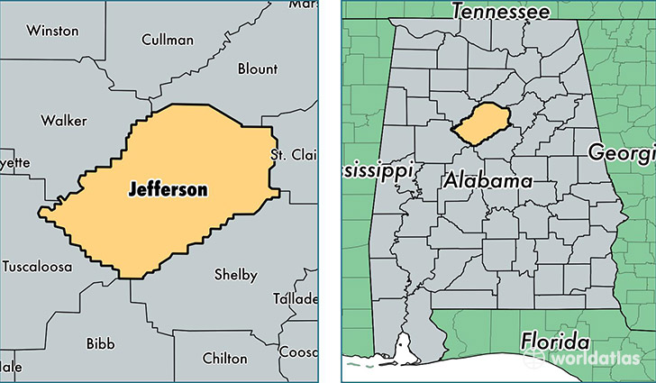
Jefferson County is a county equivalent area found in Alabama, USA. The county government of Jefferson is found in the county seat of Birmingham.
With a total 2,910.67 sq. km of land and water area, Jefferson County, Alabama is the 645th largest county equivalent area in the United States. Home to 660,793 people, Jefferson County has a total 303177 households earning 45429 on average per year.
Jefferson County, Alabama offers the following attraction to visitors: Birmingham Museum of Art
Jefferson County, Alabama - Quick Facts
| FIPS Code | 1073 |
| Area Codes | 205 |
| Time Zone | CST |
| Major Cities | Birmingham (population: 445,687), Bessemer (population: 71,649), Trussville (population: 25,289), Pinson (population: 21,778), Gardendale (population: 15,697), Leeds (population: 14,333), Warrior (population: 13,866), Fairfield (population: 11,484), Pleasant Grove (population: 10,122), Adamsville (population: 7,960) |
| Land Area | 255,133 sq miles |
| Water Area | 1,111 sq miles |
| Household Income | $45,429 |
| Housing Units | 303,177 |
| Median Home Value | $140,800 |
| High School Grads | 87% of population |
| Holders of Bachelors Degrees | 30% of population |
| Retail Spending | $16,730 per capita |
| Food & Accomodation Sales | $1,268,154 per capita |
| Universities and Colleges | Virginia College-Birmingham, University of Alabama at Birmingham, Herzing College, Birmingham Southern College |
This page was last updated on June 30, 2016.