Where is Clarke County, Alabama?
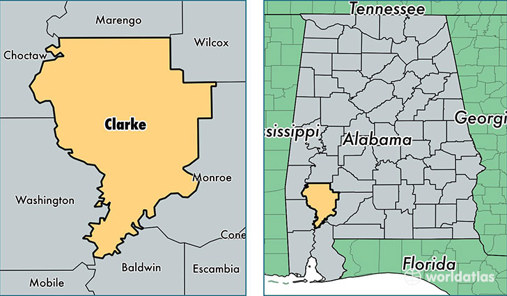
Clarke County is a county equivalent area found in Alabama, USA. The county government of Clarke is found in the county seat of Grove Hill.
With a total 3,244.15 sq. km of land and water area, Clarke County, Alabama is the 553rd largest county equivalent area in the United States. Home to 24,945 people, Clarke County has a total 12501 households earning 29357 on average per year.
Clarke County, Alabama - Quick Facts
| FIPS Code | 1025 |
| Area Codes | 251,334 |
| Time Zone | CST |
| Major Cities | Jackson (population: 9,682), Thomasville (population: 7,550), Grove Hill (population: 4,847), Coffeeville (population: 1,199), Whatley (population: 1,061), Gainestown (population: 673), Dickinson (population: 517), Fulton (population: 477), Carlton (population: 322), Campbell (population: 59) |
| Land Area | 9,631 sq miles |
| Water Area | 1,239 sq miles |
| Household Income | $29,357 |
| Housing Units | 12,501 |
| Median Home Value | $85,600 |
| High School Grads | 78% of population |
| Holders of Bachelors Degrees | 11% of population |
| Retail Spending | $13,034 per capita |
| Food & Accomodation Sales | $23,596 per capita |
This page was last updated on June 30, 2016.