Where is Novokuznetsk, Russia?
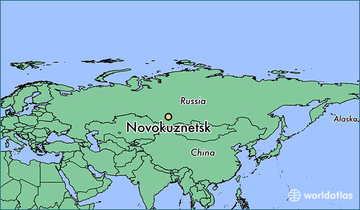
Novokuznetsk is a city found in Kemerovo Oblast, Russia. It is located 53.76 latitude and 87.11 longitude and it is situated at elevation 208 meters above sea level.
Novokuznetsk has a population of 539,616 making it the biggest city in Kemerovo Oblast. It operates on the KRAST time zone.
Quick facts
| Country | Russia |
| Administrative region | Kemerovo Oblast |
| Population | 539,616 |
| Elevation | 208 m over sea level |
| Time Zone | KRAST |
| Longitude | 87.109900 |
| Latitude | 53.755700 |
This page was last updated on October 2, 2015.