Where is Ferrara, Italy?
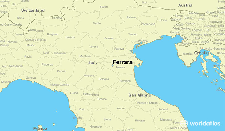
Ferrara is a city found in Emilia-Romagna, Italy. It is located 44.84 latitude and 11.61 longitude and it is situated at elevation 12 meters above sea level.
Ferrara has a population of 92,802 making it the 8th biggest city in Emilia-Romagna. It operates on the CEST time zone, which means that it follows the same time zone as Bologna.
Quick facts
| Country | Italy |
| Region | Emilia-Romagna |
| Population | 92,802 |
| Elevation | 12 m over sea level |
| Time Zone | CEST |
| Longitude | 11.608680 |
| Latitude | 44.843460 |
This page was last updated on October 2, 2015.